Transport Functions
Port
Road
Multimodal
Hub Profile
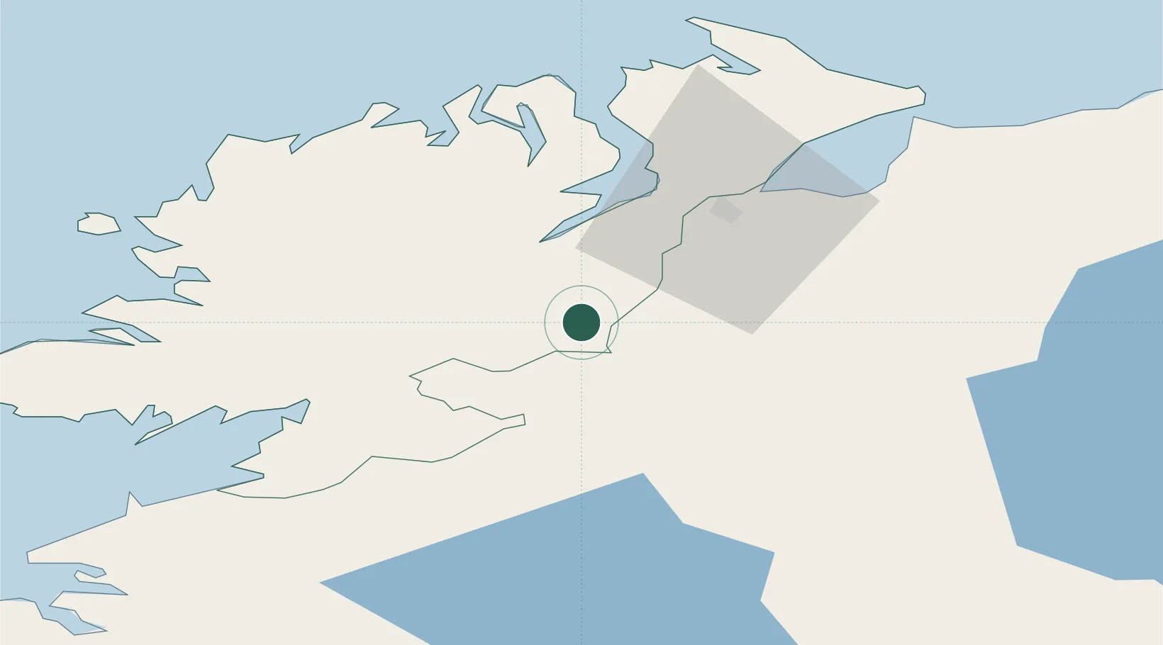
Place type
Populated place
Region
Ulster
Time zone
Europe/Dublin
Elevation
8 m
Location
Nearby Logistics Neighbours
Ports
- 1Londonderry29 km
- 2Rathmullan34 km
- 3Killybegs58 km
- 4Coleraine70 km
- 5Sligo82 km
Airports
- 1City of Derry Airport39 km
- 2Enniskillen/St Angelo Airport45 km
- 3Donegal Airport55 km
- 4Sligo Airport87 km
- 5Belfast International Airport90 km
Trade Zones
DatabookThe Record of Consolidated Knowledge
Ireland beyond logistics?