UN/LOCODE hub · Ireland
IEMRT

Magheraroarty

55.1333°, -8.1667°
1
Transport functions

Transport Functions

Port
UN/LOCODE

Hub Profile

Region
DL
GeoNames

Location

Location of IEMRT
Natural Earth 10m (public domain) · DL · IEMRT · 55.13, -8.17GoogleOSMYandex

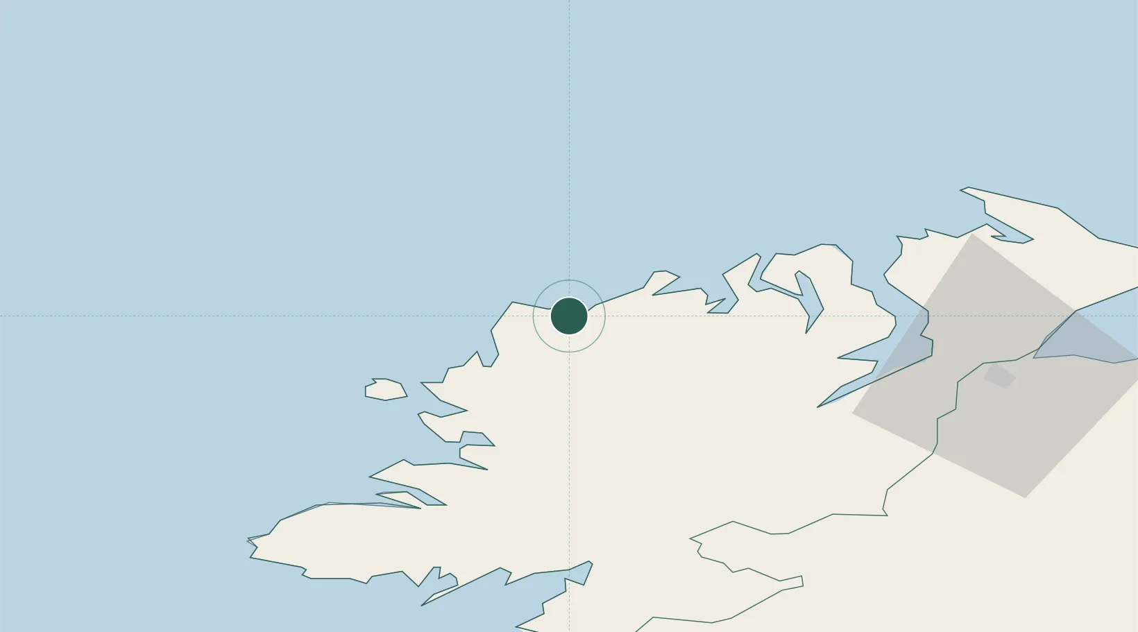
Nearby Logistics Neighbours

Cities
  1. 1Gortahork3 km
  2. 2Castlederg12 km
  3. 3Dunfanaghy14 km
  4. 4Burtonport24 km
  5. 5Ramelton36 km
Nearest neighbours — logibook spatial index (haversine) over the source coordinates
Ports
  1. 1Rathmullan40 km
  2. 2Londonderry56 km
  3. 3Killybegs59 km
  4. 4Coleraine95 km
  5. 5Sligo98 km
Nearest neighbours — logibook spatial index (haversine) over the source coordinates
Airports
  1. 1Donegal Airport15 km
  2. 2City of Derry Airport65 km
  3. 3Enniskillen/St Angelo Airport88 km
  4. 4Sligo Airport99 km
  5. 5Islay Airport135 km
Nearest neighbours — logibook spatial index (haversine) over the source coordinates
Trade Zones
  1. 1Prestwick Airport Free Zone229 km
  2. 2Dublin International Financial Services Centre234 km
  3. 3Isle of Man Free Zone and Business Park256 km
  4. 4Shannon Free Zone274 km
  5. 5Carlisle Kingmoor Park Enterprise Zone332 km
Nearest neighbours — logibook spatial index (haversine) over the source coordinates
DatabookThe Record of Consolidated Knowledge
Ireland beyond logistics?
Browse databook

All Sources

LocationsUN/LOCODE
UN/LOCODE — free
Portsthe NGA World Port Index
Public domain (US gov)
AirportsOurAirports
Public domain
Trade Zonesthe World Bank SEZ database
CC BY 4.0
Trade ZonesOpen Zone Map
CC BY
← Ireland locations