Transport Functions
Port
Road
Hub Profile
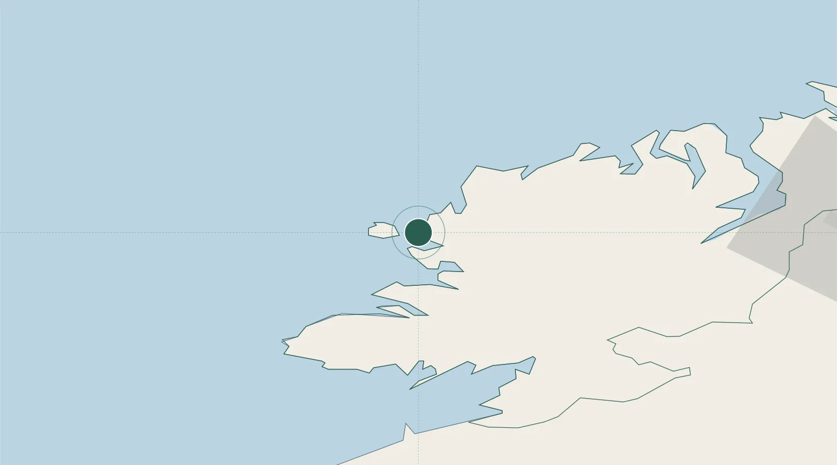
Place type
Populated place
Region
Ulster
Population
304
Time zone
Europe/Dublin
Elevation
21 m
Location
Nearby Logistics Neighbours
Cities
- 1Magheraroarty24 km
- 2Gortahork24 km
- 3Castlederg35 km
- 4Dunfanaghy37 km
- 5Carrick48 km
Ports
- 1Killybegs39 km
- 2Rathmullan59 km
- 3Londonderry71 km
- 4Sligo80 km
- 5Coleraine114 km
Airports
- 1Donegal Airport9 km
- 2Sligo Airport79 km
- 3City of Derry Airport81 km
- 4Enniskillen/St Angelo Airport82 km
- 5Ireland West Airport Knock122 km
Trade Zones
DatabookThe Record of Consolidated Knowledge
Ireland beyond logistics?