Transport Functions
Port
Multimodal
Hub Profile
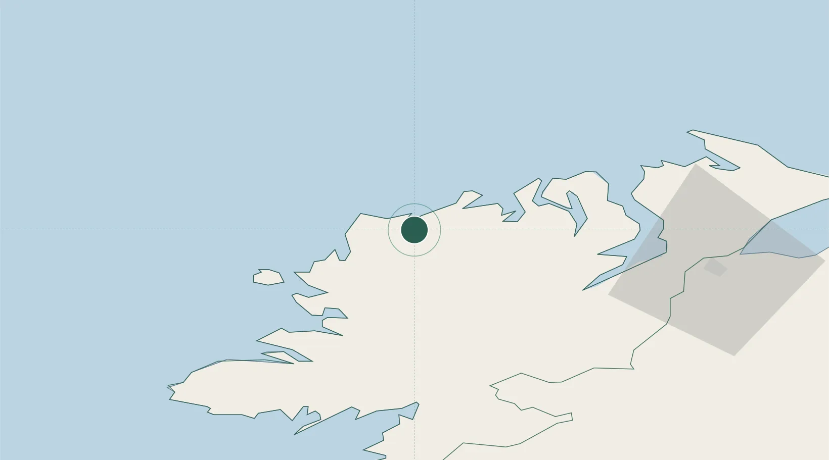
Place type
Populated place
Region
Ulster
Population
197
Time zone
Europe/Dublin
Elevation
58 m
Location
Nearby Logistics Neighbours
Cities
- 1Magheraroarty3 km
- 2Castlederg11 km
- 3Dunfanaghy13 km
- 4Burtonport24 km
- 5Ramelton33 km
Ports
- 1Rathmullan38 km
- 2Londonderry54 km
- 3Killybegs57 km
- 4Coleraine93 km
- 5Sligo97 km
Airports
- 1Donegal Airport16 km
- 2City of Derry Airport62 km
- 3Enniskillen/St Angelo Airport86 km
- 4Sligo Airport98 km
- 5Belfast International Airport133 km
Trade Zones
DatabookThe Record of Consolidated Knowledge
Ireland beyond logistics?