UN/LOCODE hub · Ireland
IECRS
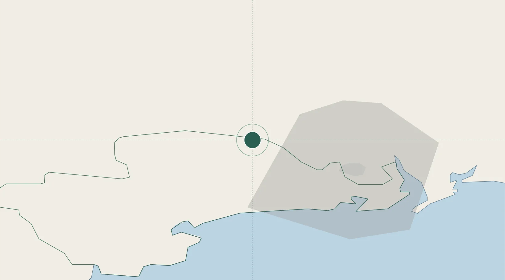
Carrick-on-Suir
52.3333°, -7.4000°
5,771
Population
3
Transport functions
Transport Functions
Port
Rail
Road
Hub Profile
Place type
Populated place
Region
Munster
Population
5,771
Time zone
Europe/Dublin
Elevation
7 m
Location
Nearby Logistics Neighbours
Cities
- 1Callan22 km
- 2Waterford City Quays22 km
- 3Waterford26 km
- 4Stokestown/New Ross28 km
- 5Waterford Great Island (ESB)29 km
Airports
- 1Waterford Airport27 km
- 2Cork International Airport93 km
- 3Shannon Airport111 km
- 4Casement Air Base125 km
- 5Weston Airport129 km
Trade Zones
DatabookThe Record of Consolidated Knowledge
Ireland beyond logistics?