Transport Functions
Multimodal
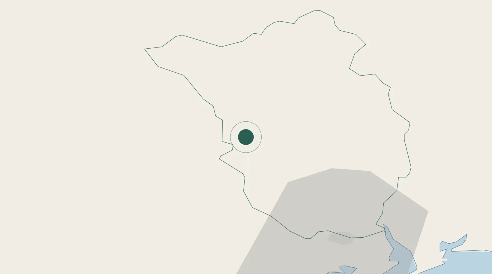
Hub Profile
Place type
Populated place
Region
Leinster
Population
2,475
Time zone
Europe/Dublin
Elevation
67 m
Location
Nearby Logistics Neighbours
Cities
- 1Dungarvan21 km
- 2Carrick-on-Suir22 km
- 3Goresbridge29 km
- 4Marshmeadows/New Ross34 km
- 5New Ross-Raheen/Roberscon34 km
Airports
- 1Waterford Airport43 km
- 2Shannon Airport106 km
- 3Casement Air Base106 km
- 4Cork International Airport108 km
- 5Weston Airport109 km
Trade Zones
DatabookThe Record of Consolidated Knowledge
Ireland beyond logistics?