UN/LOCODE hub · United Kingdom
GBSTB
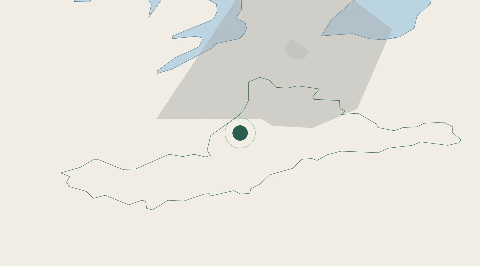
Strabane
54.8000°, -7.4667°
14,198
Population
2
Transport functions
Transport Functions
Rail
Road
Hub Profile
Place type
Provincial seat
Region
Northern Ireland
Population
14,198
Time zone
Europe/London
Elevation
7 m
Location
Nearby Logistics Neighbours
Cities
- 1Fintona5 km
- 2Castlefinn9 km
- 3Maydown28 km
- 4Ramelton28 km
- 5Burnfoot28 km
Ports
- 1Londonderry24 km
- 2Rathmullan34 km
- 3Coleraine63 km
- 4Killybegs66 km
- 5Sligo88 km
Airports
- 1City of Derry Airport33 km
- 2Enniskillen/St Angelo Airport46 km
- 3Donegal Airport62 km
- 4Belfast International Airport82 km
- 5Sligo Airport93 km
Trade Zones
DatabookThe Record of Consolidated Knowledge
United Kingdom beyond logistics?