Transport Functions
Port
Road
Hub Profile
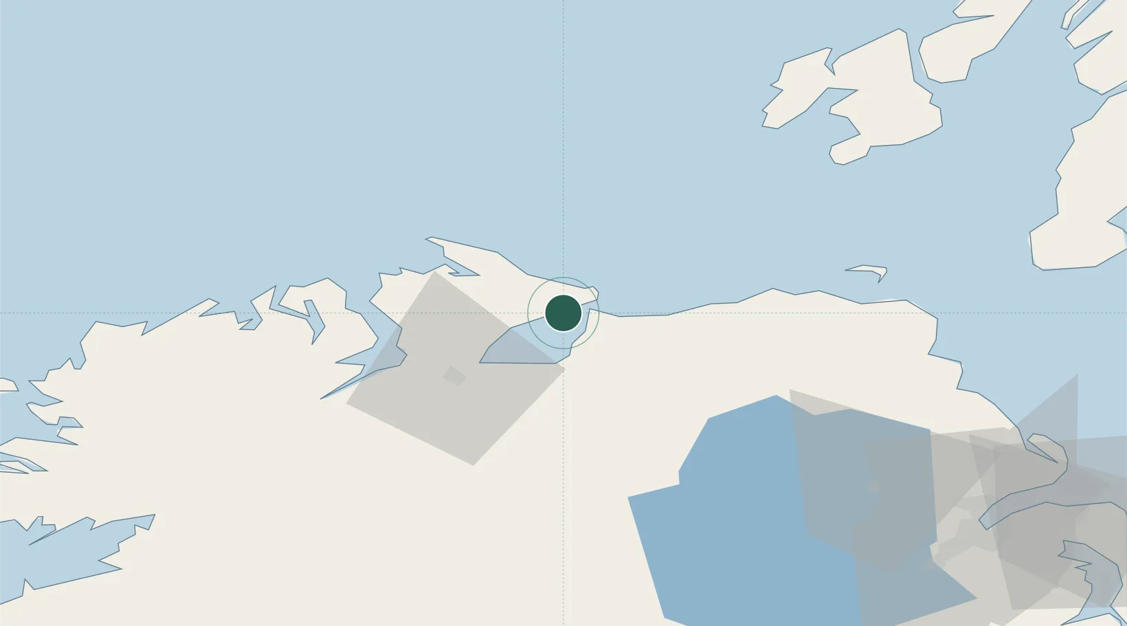
Place type
Populated place
Region
Ulster
Population
1,481
Time zone
Europe/Dublin
Elevation
36 m
Location
Nearby Logistics Neighbours
Cities
- 1Greencastle4 km
- 2Magilligan Point Ferry Terminal, Lough Foyle4 km
- 3Portstewart20 km
- 4Maydown23 km
- 5Burnfoot28 km
Ports
- 1Coleraine24 km
- 2Londonderry27 km
- 3Rathmullan33 km
- 4Port Ellen73 km
- 5Larne87 km
Airports
- 1City of Derry Airport18 km
- 2Islay Airport74 km
- 3Belfast International Airport78 km
- 4Donegal Airport85 km
- 5Campbeltown Airport90 km
Trade Zones
DatabookThe Record of Consolidated Knowledge
Ireland beyond logistics?