Seaport · Indonesia
KendariIDKDI
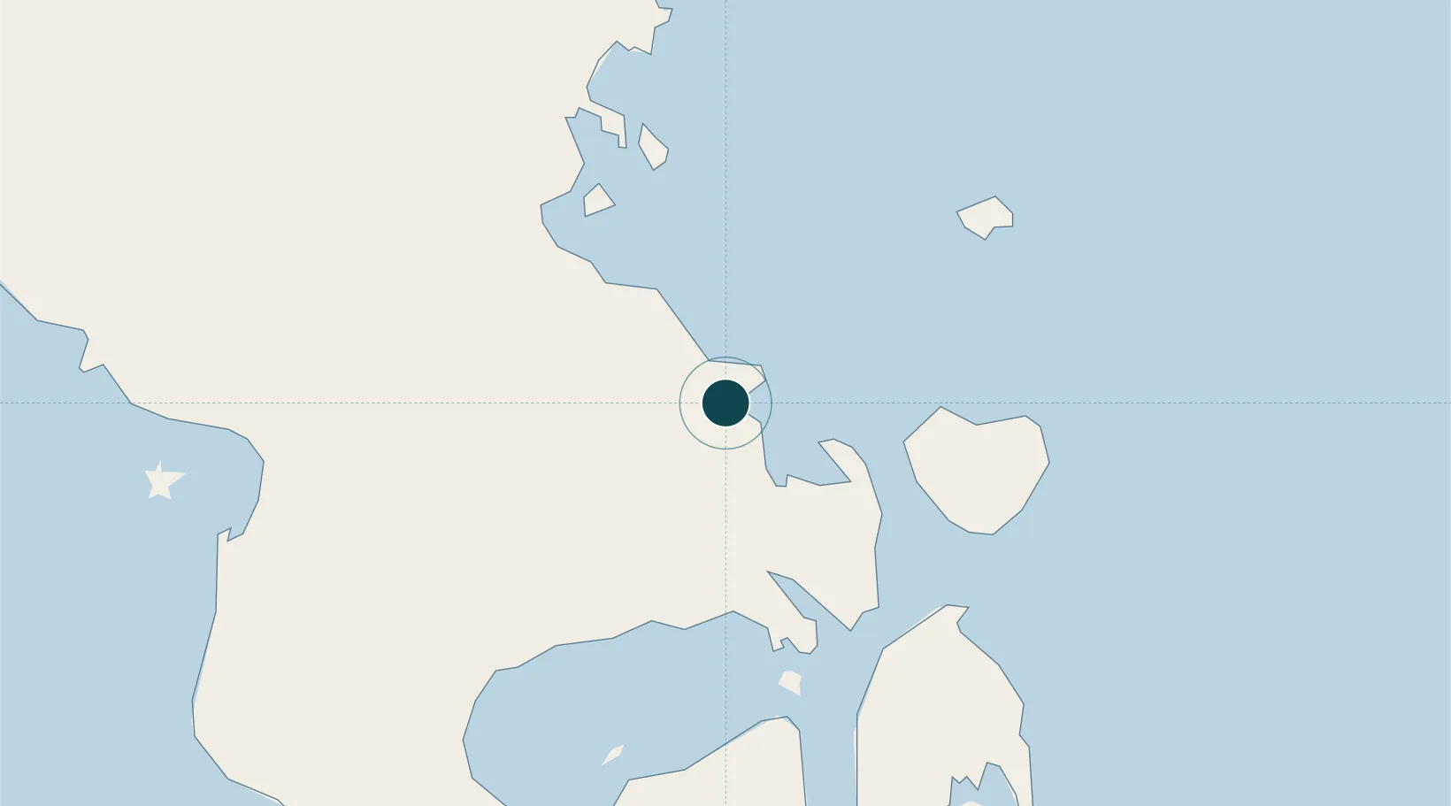
-3.9667°, 122.5833°
14.0 m
Channel depth
1
Container terminals
15.4
Port liner connectivity
Channel & Berth Profile
Pilotage, Tugs & Services
Pilotage compulsoryYES
Pilotage availableYES
Local assistanceYES
Tug assistanceNO
Salvage tugsYES
Potable waterYES
Diesel bunkersYES
MedicalYES
Facilities & Capabilities
Container—
Ro-Ro—
Liquid bulk—
Dry bulk—
Oil terminal—
Break bulk—
Dry dock—
RepairsNO
Bunkering—
Rail link—
Dangerous cargo—
ISPS security—
Harbour Specifications
Harbour size
Very Small
Harbour type
Coastal (Natural)
Shelter
Good
Water body
Banda Sea; South Pacific Ocean
Tidal range
1 m
Overhead limit
Yes
Pilotage
Yes
Liner Connectivity
15.4
PLSCI
Port Liner Shipping Connectivity Index for Kendari, as published by UNCTAD for the latest available quarter. Higher values indicate stronger scheduled liner-shipping integration.
Shown relative to the highest per-port PLSCI in the dataset (1,657.9).
Location
Container Terminals · 1
TERMINAL PETIKEMAS KENDARI NEW PORT (KNP)
KNP PT PELINDO TERMINAL PETIKEMAS (SPTP)
Nearby Logistics Neighbours
Ports
- 1Raha Roadstead100 km
- 2Pomalaa111 km
- 3Baubau167 km
- 4Kolonodale261 km
- 5Parepare329 km
Cities
- 1Pomalaa, Sulawesi111 km
- 2Kolaka113 km
- 3Kolonodale262 km
- 4Morowali263 km
- 5Donggi273 km
Airports
- 1Haluoleo Airport22 km
- 2Sangia Nibandera Airport125 km
- 3Matahora Airport188 km
- 4Maleo Airport221 km
- 5Bua - Palopo Lagaligo Airport278 km
Trade Zones
- 1Morowali Industrial Park136 km
- 2Bantaeng Industrial Park (BIP)335 km
- 3Kawasan Industri Makassar365 km
- 4Terpadu Takalar Industrial Estate389 km
- 5Palu Special Economic Zone471 km
DatabookThe Record of Consolidated Knowledge
Indonesia beyond logistics?