Small airport · Indonesia
Haluoleo AirportWAWW
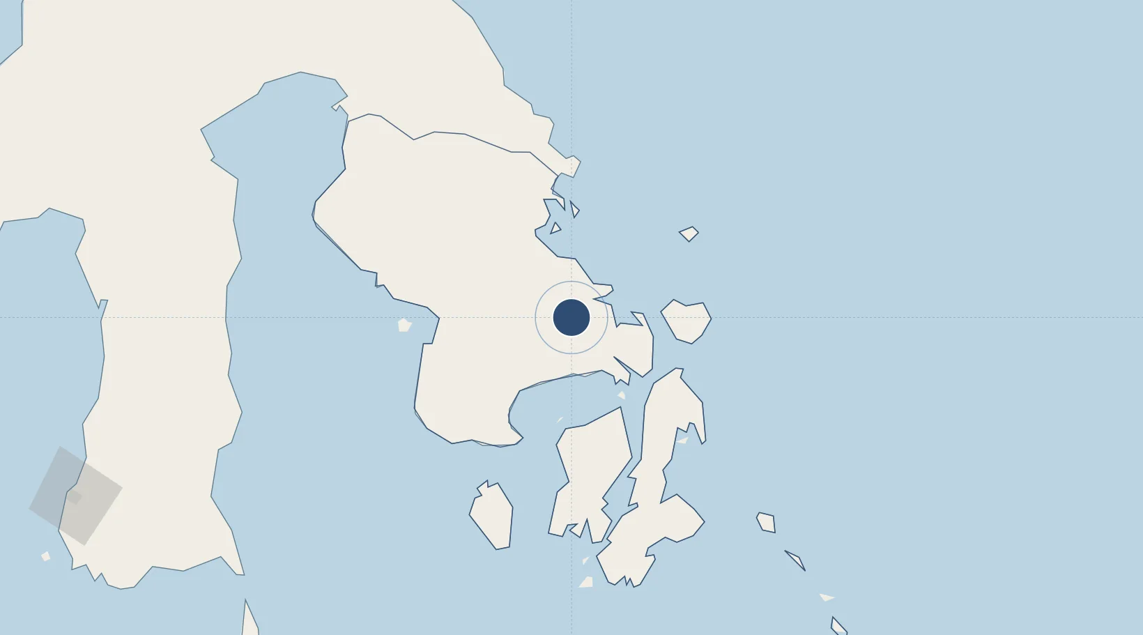
-4.0816°, 122.4180°
6,890 ft
Longest runway
1
Runways
538 ft
Elevation
Runway & Layout

Radio Frequencies
TWR
122.2 MHz
Navaids
KDI VOR-DME Kendari 115.00 MHz
NI NDB Kendari 215 kHz
Runways · 1
| Runway | Dimensions | Surface | True heading | Lit |
|---|---|---|---|---|
| 08/26 | 6,890 × 98ft | Asphalt | 080° | ✓ |
Airport Specifications
IATA code
KDI
ICAO code
WAWW
Airport class
Small airport
Scheduled service
Yes
Runway surface
Asphalt
Served city
Kendari
Location
Nearby Logistics Neighbours
Airports
- 1Sangia Nibandera Airport103 km
- 2Matahora Airport191 km
- 3Maleo Airport225 km
- 4Bua - Palopo Lagaligo Airport266 km
- 5Toraja Airport295 km
Cities
- 1Kendari, Sulawesi23 km
- 2Pomalaa, Sulawesi93 km
- 3Kolaka95 km
- 4Kolonodale264 km
- 5Morowali267 km
Ports
- 1Kendari22 km
- 2Pomalaa91 km
- 3Raha Roadstead92 km
- 4Baubau156 km
- 5Kolonodale263 km
Trade Zones
- 1Morowali Industrial Park143 km
- 2Bantaeng Industrial Park (BIP)313 km
- 3Kawasan Industri Makassar343 km
- 4Terpadu Takalar Industrial Estate367 km
- 5Palu Special Economic Zone470 km
DatabookThe Record of Consolidated Knowledge
Indonesia beyond logistics?