Medium airport · Indonesia
Nanga Pinoh AirportWIOG
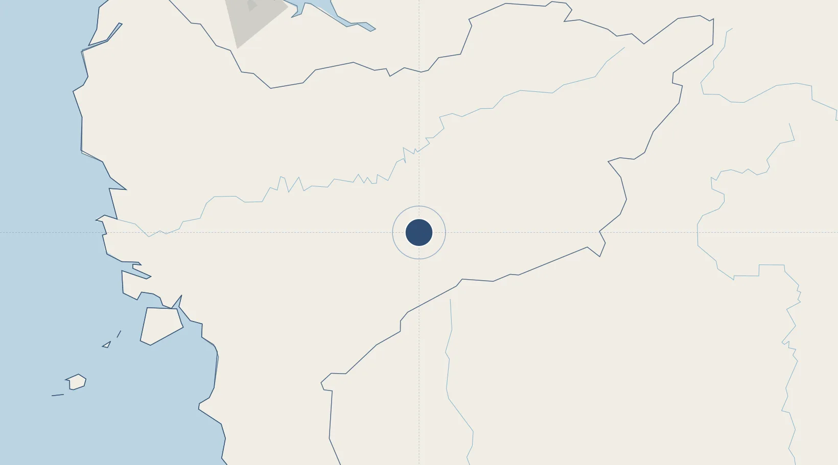
-0.3486°, 111.7462°
3,272 ft
Longest runway
1
Runways
123 ft
Elevation
Runway & Layout

Radio Frequencies
AFIS
122.5 MHz
INFO
RDO
385.5 MHz
Navaids
NH NDB Nanga Pinoh 233 kHz
Runways · 1
| Runway | Dimensions | Surface | True heading | Lit |
|---|---|---|---|---|
| 10/28 | 3,272 × 75ft | Asphalt | 099° | — |
Airport Specifications
IATA code
NPO
ICAO code
WIOG
Airport class
Medium airport
Scheduled service
Yes
Runway surface
Asphalt
Served city
Nanga Pinoh-Borneo Island
Location
Nearby Logistics Neighbours
Airports
- 1Tebelian Airport47 km
- 2Susilo Airport55 km
- 3Pangsuma Airport187 km
- 4Tumbang Samba Airport194 km
- 5Kuching International Airport256 km
Cities
- 1Sanggau138 km
- 2Sungai Nibong180 km
- 3Entikong212 km
- 4Samu212 km
- 5Sebuyau226 km
Trade Zones
- 1Sama Jaya Free Industrial Zone256 km
- 2Sarawak Corridor Of Renewable Energy260 km
- 3KEK Tanjung Kelayang518 km
- 4Delma Industrial Park529 km
- 5Muara Wahau Industrial Park566 km
DatabookThe Record of Consolidated Knowledge
Indonesia beyond logistics?