Transport Functions
Multimodal
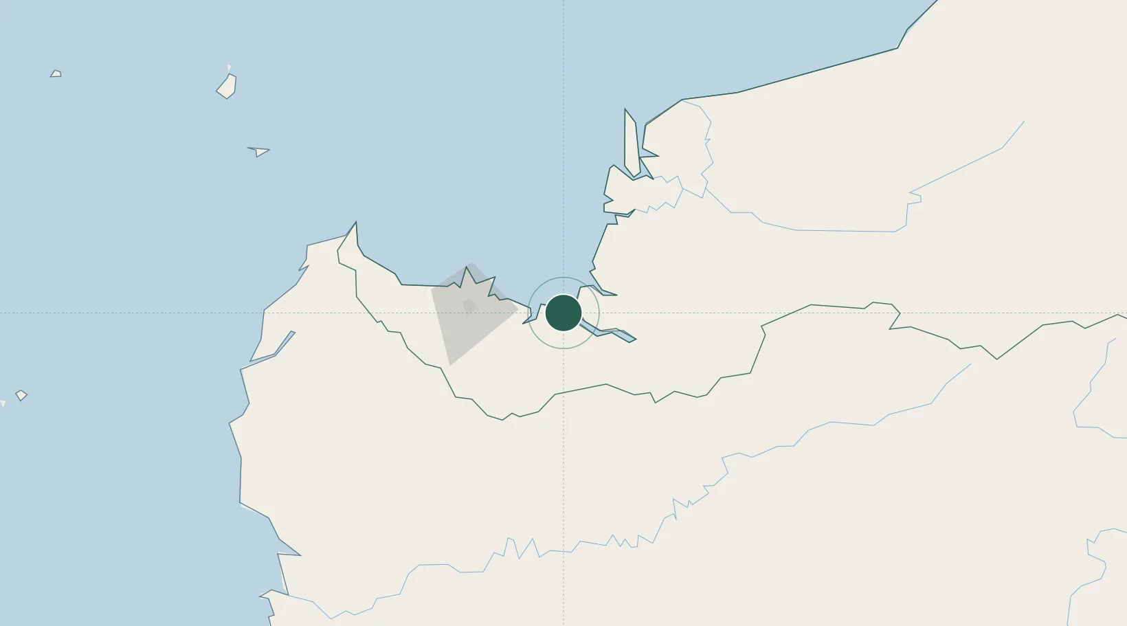
Hub Profile
Place type
Populated place
Region
Sarawak
Population
13,200
Time zone
Asia/Kuching
Elevation
55 m
Location
Nearby Logistics Neighbours
Cities
- 1Senari - Sarawak56 km
- 2Kuching, Sarawak58 km
- 3Pending61 km
- 4Samu67 km
- 5Tanjung Manis84 km
Airports
- 1Kuching International Airport65 km
- 2Sibu Airport143 km
- 3Susilo Airport172 km
- 4Tebelian Airport183 km
- 5Mukah Airport196 km
Trade Zones
DatabookThe Record of Consolidated Knowledge
Malaysia beyond logistics?