Free Trade Zone · Malaysia

Mas Cargo Free Zone, Penang Active
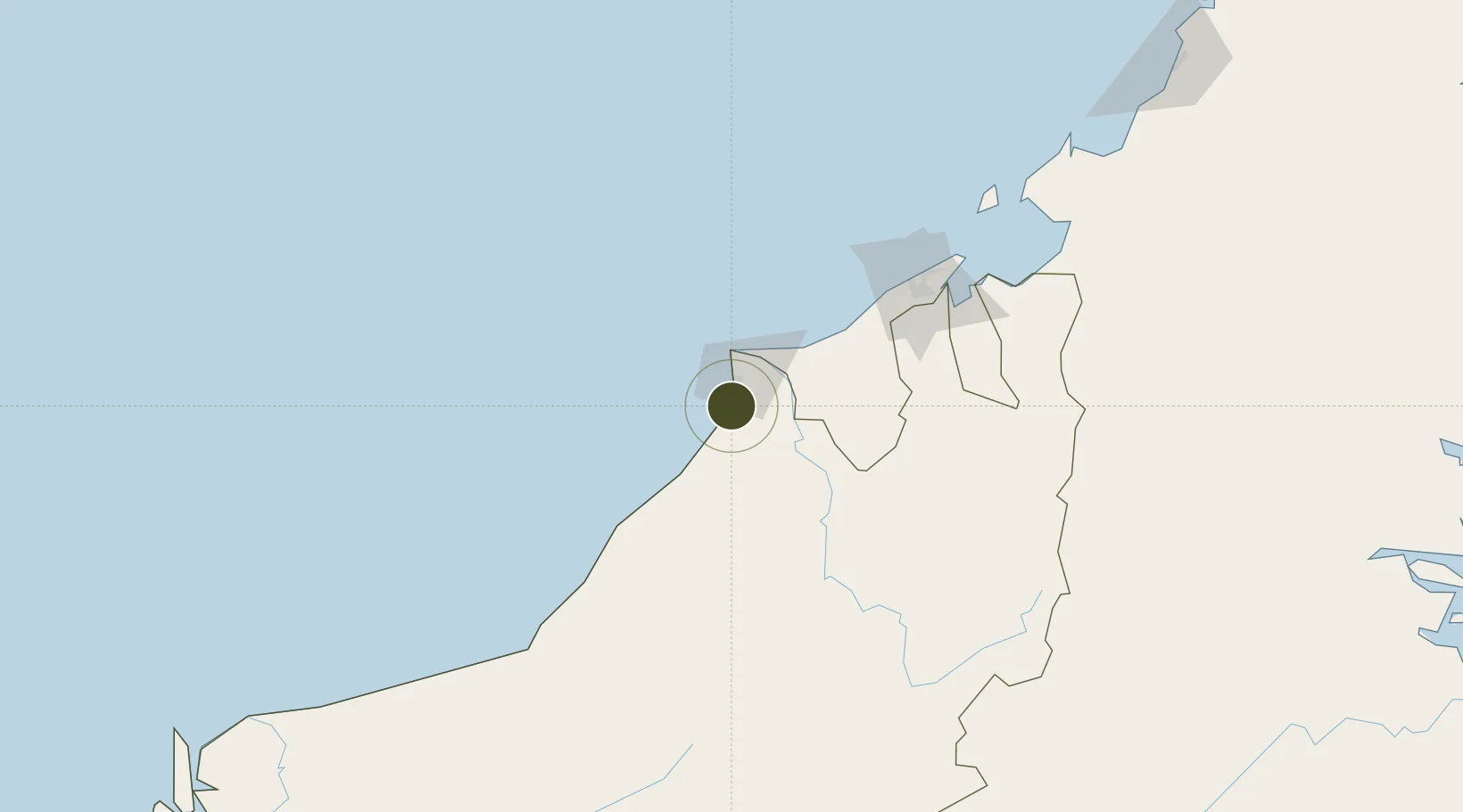
4.3275°, 113.9820°
43 ha
Zone area
6.4 km
Nearest port
0.8 km
Nearest airport

Gateway access

Nearest neighbours — logibook spatial index (haversine) over the source coordinates

Zone profile

Zone type
Free Trade Zone
Open Zone Map
Region
Sarawak
Open Zone Map
Status
Active
Open Zone Map
Management
Public
Open Zone Map
Operator
Malaysia Airport Holdings Ltd.
Open Zone Map
Legal framework
Free Zones Act of 1990 (Act 438)
Open Zone Map

Location

Location of ozm-2792
Natural Earth 10m (public domain) · Sarawak · ozm-2792 · 4.33, 113.98GoogleOSMYandex

Nearby Logistics Neighbours

Ports
  1. 1Miri6 km
  2. 2Lutong16 km
  3. 3Kuala Belait42 km
  4. 4Seria Oil Loading Terminal49 km
  5. 5Lumut68 km
Nearest neighbours — logibook spatial index (haversine) over the source coordinates
Airports
  1. 1Miri Airport1 km
  2. 2Marudi Airport42 km
  3. 3Anduki Airport56 km
  4. 4Mulu Airport96 km
  5. 5Brunei International Airport125 km
Nearest neighbours — logibook spatial index (haversine) over the source coordinates
Cities
  1. 1Miri, Sarawak18 km
  2. 2Kuala Baram27 km
  3. 3Samalaju65 km
  4. 4Bandar Seri Begawan122 km
  5. 5Tubau136 km
Nearest neighbours — logibook spatial index (haversine) over the source coordinates
Trade Zones
  1. 1Muara Export Zone144 km
  2. 2Terunjing Free Trade Zone144 km
  3. 3Labuan Offshore Financial Centre176 km
  4. 4Sabah Development Corridor293 km
  5. 5Layang-Layang Island Commercial Free Zone339 km
Nearest neighbours — logibook spatial index (haversine) over the source coordinates
DatabookThe Record of Consolidated Knowledge
Malaysia beyond logistics?
Browse databook

All Sources

Trade ZonesOpen Zone Map
CC BY
Portsthe NGA World Port Index
Public domain (US gov)
AirportsOurAirports
Public domain
LocationsUN/LOCODE
UN/LOCODE — free
← Malaysia trade zones