Transport Functions
Port
Hub Profile
Region
AC
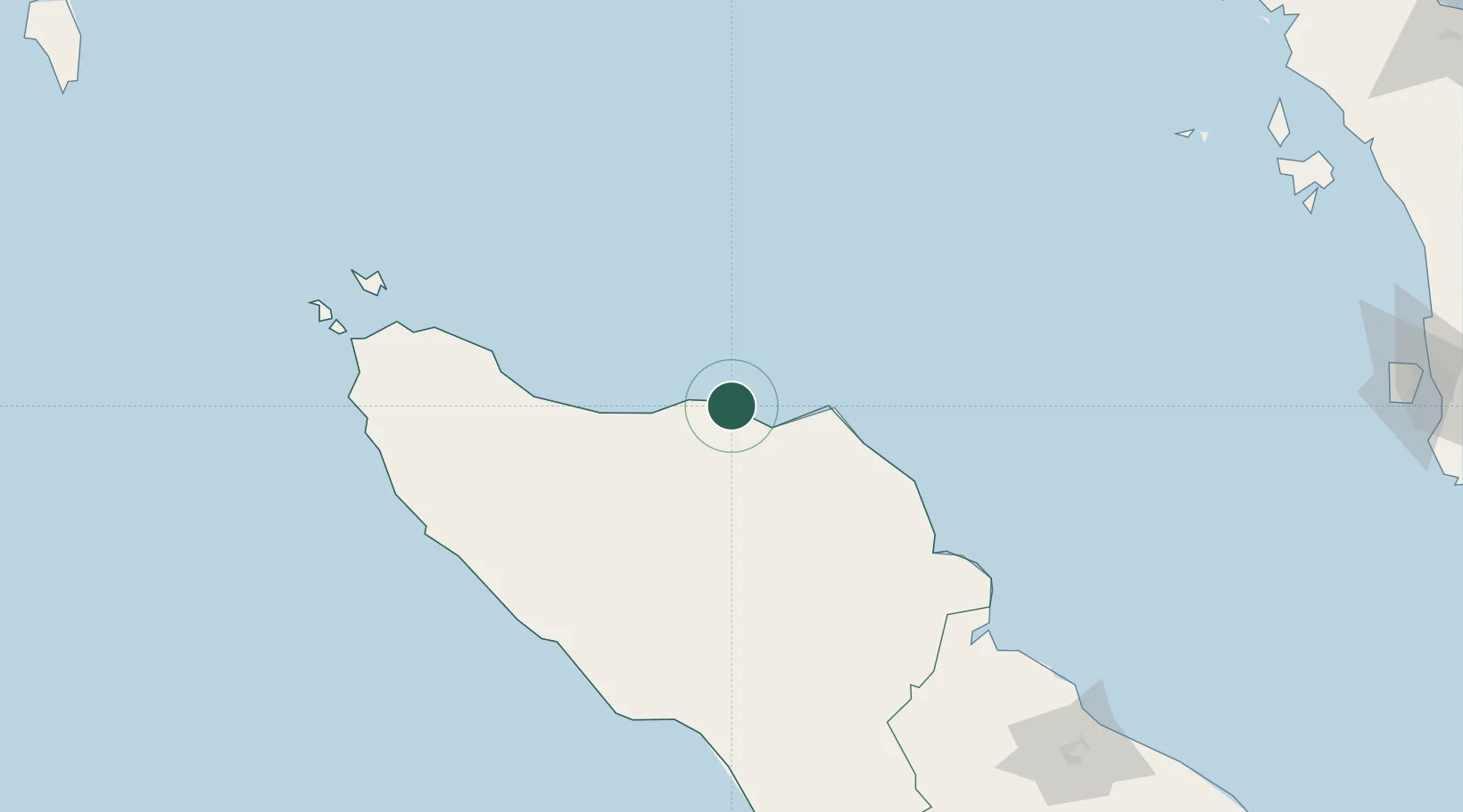
Location
Nearby Logistics Neighbours
Cities
- 1Lhokseumawe14 km
- 2Kualalangsa135 km
- 3Sabang, Sumatra197 km
- 4Balohan198 km
- 5Belawan, Sumatra246 km
Ports
- 1Blanglancang8 km
- 2Lhokseumawe9 km
- 3Pangkalansusu182 km
- 4Uleelheue197 km
- 5Sabang203 km
Airports
- 1Malikus Saleh Airport10 km
- 2Lhok Sukon Airport32 km
- 3Rembele Airport62 km
- 4Cut Nyak Dhien Airport160 km
- 5Sultan Iskandar Muda International Airport181 km
Trade Zones
DatabookThe Record of Consolidated Knowledge
Indonesia beyond logistics?