Channel & Berth Profile
Pilotage, Tugs & Services
Pilotage compulsoryYES
Pilotage availableYES
Tug assistanceYES
MedicalYES
Facilities & Capabilities
Container—
Ro-Ro—
Liquid bulk—
Dry bulk—
Oil terminal—
Break bulk—
Dry dock—
Repairs—
Bunkering—
Rail linkYES
Dangerous cargo—
ISPS security—
Harbour Specifications
Harbour size
Small
Harbour type
Typhoon Harbor
Shelter
Fair
Water body
Andaman Sea; Indian Ocean
Pilotage
Yes
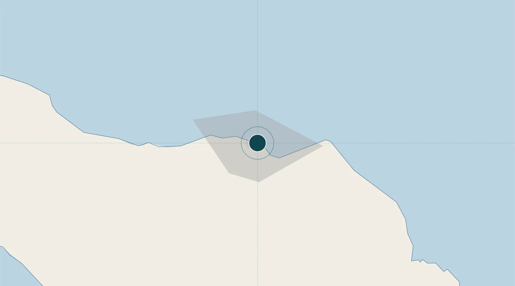
Location
Nearby Logistics Neighbours
Ports
- 1Lhokseumawe3 km
- 2Pangkalansusu175 km
- 3Uleelheue205 km
- 4Sabang210 km
- 5Belawan238 km
Cities
- 1Krueng Geukueh8 km
- 2Lhokseumawe8 km
- 3Kualalangsa128 km
- 4Sabang, Sumatra205 km
- 5Balohan206 km
Airports
- 1Malikus Saleh Airport17 km
- 2Lhok Sukon Airport25 km
- 3Rembele Airport63 km
- 4Cut Nyak Dhien Airport162 km
- 5Sultan Iskandar Muda International Airport189 km
Trade Zones
DatabookThe Record of Consolidated Knowledge
Indonesia beyond logistics?