Medium airport · Indonesia

Lhok Sukon AirportWITL
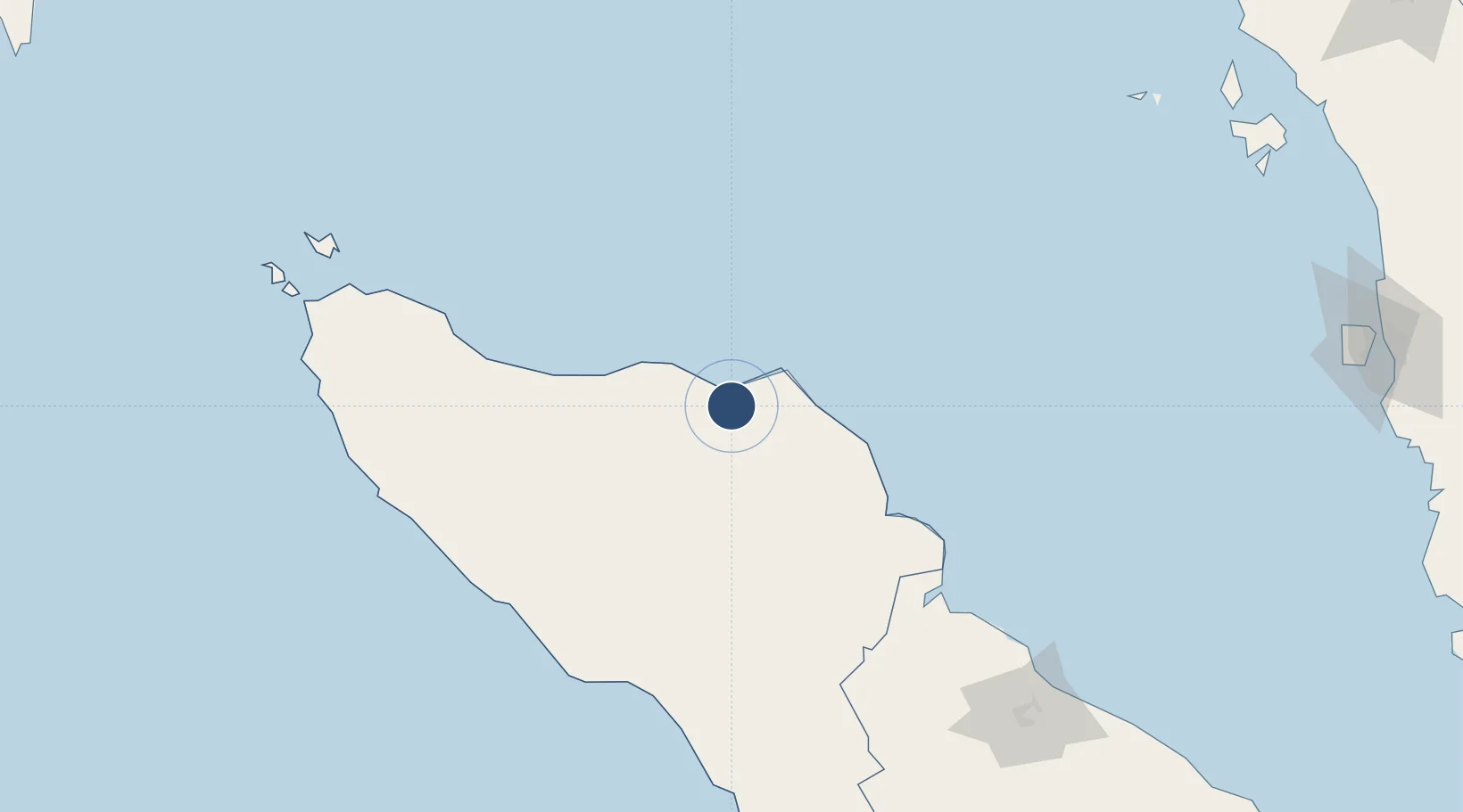
5.0695°, 97.2592°
3,675 ft
Longest runway
1
Runways
28 ft
Elevation

Runway & Layout

Lhok Sukon Airport runway & taxiway layout
Runway & taxiway layout — OpenStreetMap (ODbL) / OurAirports

Radio Frequencies

A/G
130.45 MHz
INFO
OurAirports

Navaids

LS NDB Lhok Sukon 222 kHz
OurAirports

Runways · 1

RunwayDimensions SurfaceTrue headingLit
16/34 3,675 × 69ft Asphalt 155°
OurAirports

Airport Specifications

IATA code
LSX
OurAirports
ICAO code
WITL
OurAirports
Airport class
Medium airport
OurAirports
Scheduled service
No
OurAirports
Runway surface
Asphalt
OurAirports
Served city
Lhok Sukon-Sumatra Island
OurAirports

Location

Location of WITL
Natural Earth 10m (public domain) · Aceh · WITL · 5.07, 97.26GoogleOSMYandex

Nearby Logistics Neighbours

Airports
  1. 1Malikus Saleh Airport38 km
  2. 2Rembele Airport60 km
  3. 3Cut Nyak Dhien Airport160 km
  4. 4Alas Leuser Airport198 km
  5. 5Sultan Iskandar Muda International Airport210 km
Nearest neighbours — logibook spatial index (haversine) over the source coordinates
Cities
  1. 1Lhokseumawe18 km
  2. 2Krueng Geukueh32 km
  3. 3Kualalangsa103 km
  4. 4Belawan, Sumatra214 km
  5. 5Medan, Sumatra219 km
Nearest neighbours — logibook spatial index (haversine) over the source coordinates
Ports
  1. 1Blanglancang25 km
  2. 2Lhokseumawe26 km
  3. 3Pangkalansusu150 km
  4. 4Belawan213 km
  5. 5Uleelheue226 km
Nearest neighbours — logibook spatial index (haversine) over the source coordinates
Trade Zones
  1. 1KEK Arun Lhokseumawe26 km
  2. 2Medan Industrial Estate221 km
  3. 3Lampulo Fisheries Industrial Estate223 km
  4. 4Medan Star Industrial Estate242 km
  5. 5Sei Mangkei Special Economic Zone316 km
Nearest neighbours — logibook spatial index (haversine) over the source coordinates
DatabookThe Record of Consolidated Knowledge
Indonesia beyond logistics?
Browse databook

All Sources

AirportsOurAirports
Public domain
Portsthe NGA World Port Index
Public domain (US gov)
LocationsUN/LOCODE
UN/LOCODE — free
Trade Zonesthe World Bank SEZ database
CC BY 4.0
Trade ZonesOpen Zone Map
CC BY
InfrastructureOpenStreetMap
ODbL 1.0
← Indonesia airports