UN/LOCODE hub · Indonesia
IDLSW

Lhokseumawe

5.1667°, 97.1333°
196,067
Population
3
Transport functions

Transport Functions

Port
Road
Airport
Lhokseumawe is also a profiled seaport →
UN/LOCODE

Hub Profile

Place type
Populated place
GeoNames
Region
Aceh
GeoNames
Population
196,067
GeoNames
Time zone
Asia/Jakarta
GeoNames
Elevation
6 m
GeoNames

Location

Location of IDLSW
Natural Earth 10m (public domain) · Aceh · IDLSW · 5.17, 97.13GoogleOSMYandex

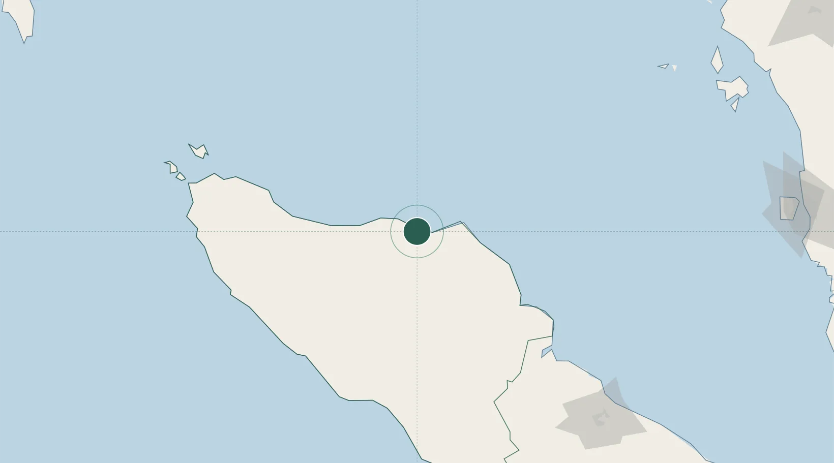
Nearby Logistics Neighbours

Cities
  1. 1Krueng Geukueh14 km
  2. 2Kualalangsa121 km
  3. 3Sabang, Sumatra211 km
  4. 4Balohan212 km
  5. 5Belawan, Sumatra232 km
Nearest neighbours — logibook spatial index (haversine) over the source coordinates
Ports
  1. 1Blanglancang8 km
  2. 2Pangkalansusu168 km
  3. 3Uleelheue210 km
  4. 4Sabang216 km
  5. 5Belawan231 km
Nearest neighbours — logibook spatial index (haversine) over the source coordinates
Airports
  1. 1Lhok Sukon Airport18 km
  2. 2Malikus Saleh Airport21 km
  3. 3Rembele Airport59 km
  4. 4Cut Nyak Dhien Airport159 km
  5. 5Sultan Iskandar Muda International Airport194 km
Nearest neighbours — logibook spatial index (haversine) over the source coordinates
Trade Zones
  1. 1KEK Arun Lhokseumawe8 km
  2. 2Lampulo Fisheries Industrial Estate206 km
  3. 3Medan Industrial Estate238 km
  4. 4Medan Star Industrial Estate259 km
  5. 5Sei Mangkei Special Economic Zone334 km
Nearest neighbours — logibook spatial index (haversine) over the source coordinates
DatabookThe Record of Consolidated Knowledge
Indonesia beyond logistics?
Browse databook

All Sources

LocationsUN/LOCODE
UN/LOCODE — free
LocationsGeoNames
CC BY 4.0
Portsthe NGA World Port Index
Public domain (US gov)
AirportsOurAirports
Public domain
Trade Zonesthe World Bank SEZ database
CC BY 4.0
Trade ZonesOpen Zone Map
CC BY
← Indonesia locations