Transport Functions
Port
Road
Hub Profile
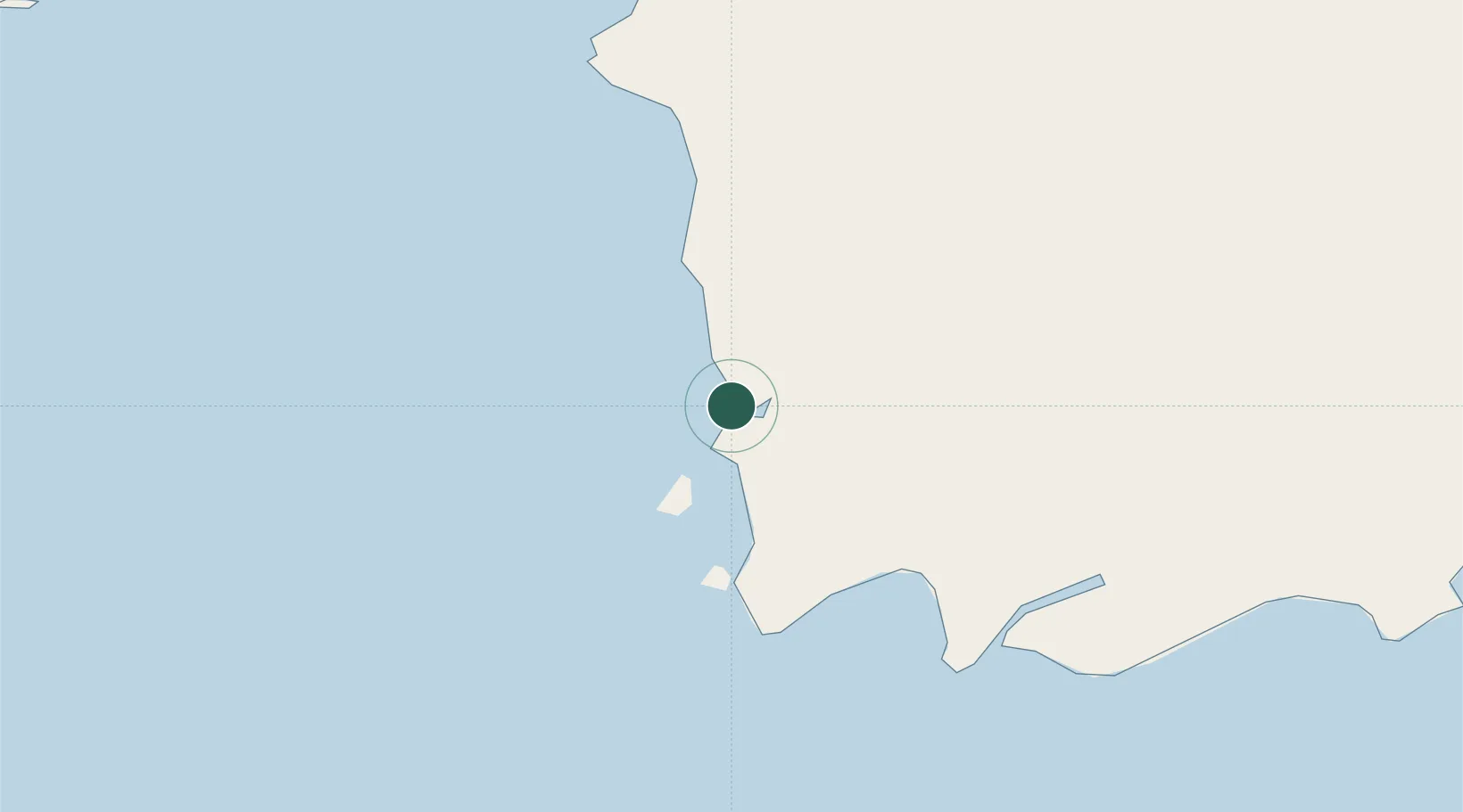
Place type
Populated place
Region
West Kalimantan
Time zone
Asia/Pontianak
Elevation
12 m
Location
Nearby Logistics Neighbours
Cities
- 1Kumai171 km
- 2Padang Tikar232 km
- 3Belitung256 km
- 4Bagendang262 km
- 5Tanjung Pandan284 km
Ports
- 1Kumai170 km
- 2Tanjungpandan286 km
- 3Pontianak296 km
- 4Sampit311 km
- 5Toboali420 km
Airports
- 1Rahadi Osman Airport84 km
- 2Iskandar Airport165 km
- 3H A S Hanandjoeddin International Airport273 km
- 4Seruyan Kuala Pembuang Airport276 km
- 5Supadio International Airport279 km
Trade Zones
- 1KEK Tanjung Kelayang283 km
- 2Sama Jaya Free Industrial Zone451 km
- 3Sarawak Corridor Of Renewable Energy456 km
- 4KEK Kendal490 km
- 5Jatengland Industrial Park Sayung490 km
DatabookThe Record of Consolidated Knowledge
Indonesia beyond logistics?