Channel & Berth Profile
Facilities & Capabilities
ContainerYES
Ro-Ro—
Liquid bulk—
Dry bulk—
Oil terminal—
Break bulkYES
Dry dock—
RepairsNO
Bunkering—
Rail link—
Dangerous cargo—
ISPS security—
Harbour Specifications
Harbour size
Very Small
Harbour type
River (Natural)
Shelter
Good
Water body
Java Sea; South Pacific Ocean
Tidal range
1 m
Liner Connectivity
6.9
PLSCI
Port Liner Shipping Connectivity Index for Kumai, as published by UNCTAD for the latest available quarter. Higher values indicate stronger scheduled liner-shipping integration.
Shown relative to the highest per-port PLSCI in the dataset (1,657.9).
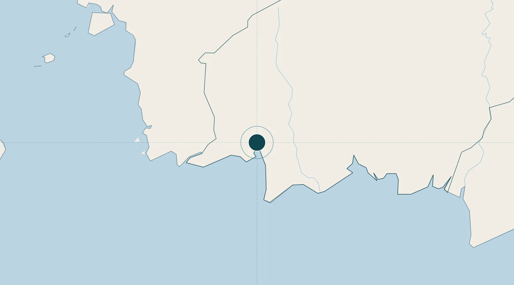
Location
Nearby Logistics Neighbours
Ports
- 1Sampit145 km
- 2Banjarmasin325 km
- 3Pontianak403 km
- 4Rembang441 km
- 5Tuban446 km
Cities
- 1Bagendang93 km
- 2Kendawangan170 km
- 3Taboneo317 km
- 4Banjarmasin323 km
- 5Marabahan340 km
Airports
- 1Iskandar Airport7 km
- 2Seruyan Kuala Pembuang Airport115 km
- 3Sampit (H.Asan) Airport143 km
- 4Tumbang Samba Airport208 km
- 5Rahadi Osman Airport221 km
Trade Zones
- 1Tuban Industrial Estate449 km
- 2KEK Tanjung Kelayang452 km
- 3Jatengland Industrial Park Sayung482 km
- 4Terboyo Industrial Estate487 km
- 5Tanjung Emas Export Processing Zone488 km
DatabookThe Record of Consolidated Knowledge
Indonesia beyond logistics?