Diversified Zone · Indonesia

KEK Kendal Under Development
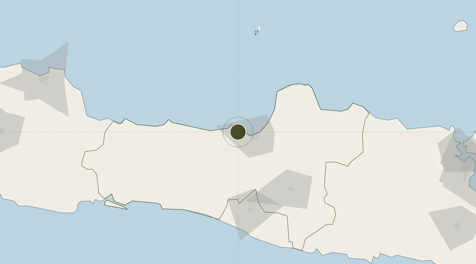
-6.9376°, 110.2468°
2,200 ha
Zone area
18.8 km
Nearest port
14.4 km
Nearest airport

Gateway access

Nearest neighbours — logibook spatial index (haversine) over the source coordinates

Zone profile

Zone type
Diversified Zone
Open Zone Map
Region
Jawa Tengah
Open Zone Map
Status
Under Development
Open Zone Map
Management
Public-Private Partnership
Open Zone Map
Operator
PT Kawasan Industri Kendal
Open Zone Map
Legal framework
Law of the Republic of Indonesia No. 39 Year 2009 Regarding Special Economic Zones
Open Zone Map

Location

Location of ozm-2414
Natural Earth 10m (public domain) · Jawa Tengah · ozm-2414 · -6.94, 110.25GoogleOSMYandex

Nearby Logistics Neighbours

Ports
  1. 1Semarang19 km
  2. 2Pekalongan61 km
  3. 3Tegal123 km
  4. 4Rembang125 km
  5. 5Cilacap164 km
Nearest neighbours — logibook spatial index (haversine) over the source coordinates
Airports
  1. 1Jenderal Ahmad Yani Airport14 km
  2. 2Adisumarmo Airport86 km
  3. 3Adisutjipto International Airport97 km
  4. 4Yogyakarta International Airport110 km
  5. 5Dewadaru Airport129 km
Nearest neighbours — logibook spatial index (haversine) over the source coordinates
Cities
  1. 1Semarang18 km
  2. 2Temanggung41 km
  3. 3Demak43 km
  4. 4Karangjati (Kodya Salatiga)51 km
  5. 5Tawangsari51 km
Nearest neighbours — logibook spatial index (haversine) over the source coordinates
Trade Zones
  1. 1Wijayakusuma Industrial Estate11 km
  2. 2Bukit Semarang Baru Industrial Park15 km
  3. 3Candi Industrial Estate16 km
  4. 4Tanjung Emas Export Processing Zone20 km
  5. 5Terboyo Industrial Estate25 km
Nearest neighbours — logibook spatial index (haversine) over the source coordinates
DatabookThe Record of Consolidated Knowledge
Indonesia beyond logistics?
Browse databook

All Sources

Trade ZonesOpen Zone Map
CC BY
Portsthe NGA World Port Index
Public domain (US gov)
AirportsOurAirports
Public domain
LocationsUN/LOCODE
UN/LOCODE — free
← Indonesia trade zones