Transport Functions
Port
Hub Profile
Region
KT
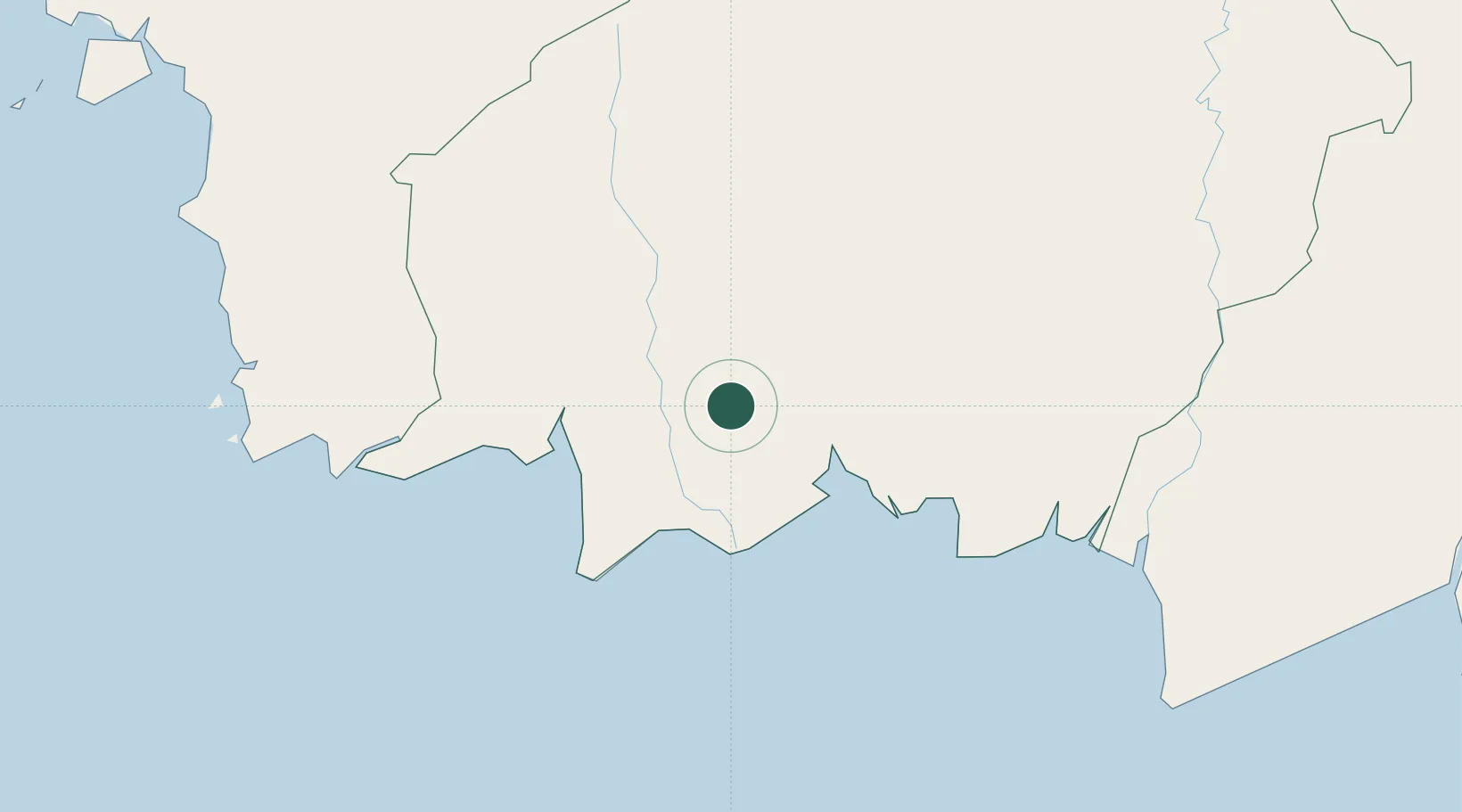
Location
Nearby Logistics Neighbours
Cities
- 1Kumai91 km
- 2Taboneo233 km
- 3Banjarmasin234 km
- 4Marabahan248 km
- 5Kendawangan262 km
Ports
- 1Sampit56 km
- 2Kumai93 km
- 3Banjarmasin235 km
- 4Stagen405 km
- 5Kota Baru411 km
Airports
- 1Sampit (H.Asan) Airport54 km
- 2Seruyan Kuala Pembuang Airport72 km
- 3Iskandar Airport98 km
- 4Tumbang Samba Airport153 km
- 5Tjilik Riwut Airport165 km
Trade Zones
- 1Tuban Industrial Estate456 km
- 2Java Integrated Industrial Estate484 km
- 3Maspion Industrial Estate489 km
- 4Gresik Industrial Estate492 km
- 5Kariangau Industrial Estate504 km
DatabookThe Record of Consolidated Knowledge
Indonesia beyond logistics?