Transport Functions
Port
Road
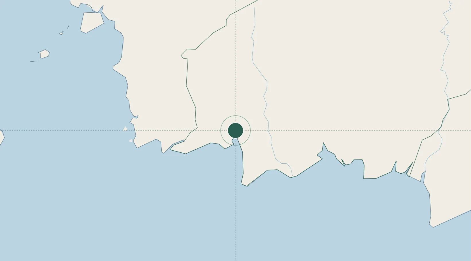
Hub Profile
Place type
District seat
Region
Central Kalimantan
Time zone
Asia/Pontianak
Elevation
5 m
Logistics facilities
1
Location
Nearby Logistics Neighbours
Cities
- 1Bagendang91 km
- 2Kendawangan171 km
- 3Taboneo316 km
- 4Banjarmasin322 km
- 5Marabahan339 km
Ports
- 1Sampit143 km
- 2Banjarmasin324 km
- 3Pontianak403 km
- 4Rembang442 km
- 5Tuban447 km
Airports
- 1Iskandar Airport7 km
- 2Seruyan Kuala Pembuang Airport114 km
- 3Sampit (H.Asan) Airport141 km
- 4Tumbang Samba Airport206 km
- 5Rahadi Osman Airport221 km
Trade Zones
- 1Tuban Industrial Estate451 km
- 2KEK Tanjung Kelayang453 km
- 3Jatengland Industrial Park Sayung484 km
- 4Terboyo Industrial Estate489 km
- 5Tanjung Emas Export Processing Zone490 km
DatabookThe Record of Consolidated Knowledge
Indonesia beyond logistics?