Transport Functions
Port
Hub Profile
Place type
Populated place
Region
Central Java
Time zone
Asia/Jakarta
Elevation
6 m
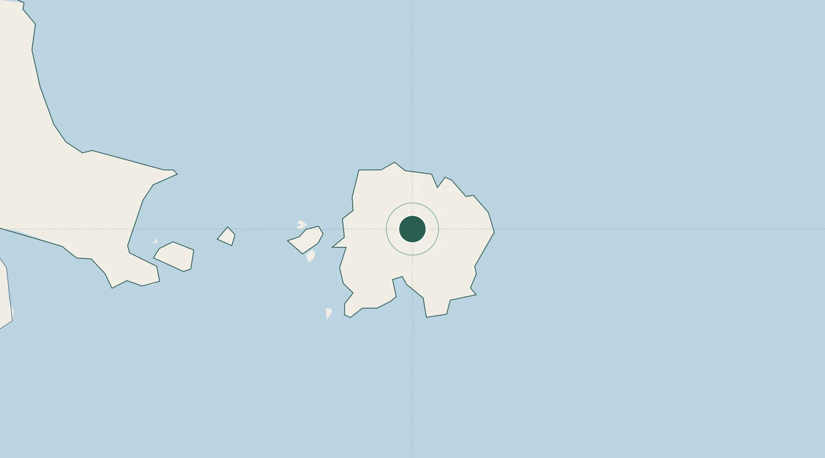
Location
Nearby Logistics Neighbours
Cities
- 1Tanjung Pandan31 km
- 2Toboali158 km
- 3Serdang163 km
- 4Kendawangan256 km
- 5Padang Tikar284 km
Ports
- 1Tanjungpandan33 km
- 2Toboali164 km
- 3Pangkalpinang214 km
- 4Widuri Marine Terminal248 km
- 5Blinyu272 km
Airports
Trade Zones
DatabookThe Record of Consolidated Knowledge
Indonesia beyond logistics?