Channel & Berth Profile
Pilotage, Tugs & Services
Tug assistanceYES
MedicalYES
Facilities & Capabilities
Container—
Ro-Ro—
Liquid bulk—
Dry bulk—
Oil terminal—
Break bulk—
Dry dock—
Repairs—
Bunkering—
Rail link—
Dangerous cargo—
ISPS security—
Harbour Specifications
Harbour size
Very Small
Harbour type
Open Roadstead
Shelter
Poor
Water body
Java Sea; South Pacific Ocean
Tidal range
10 m
Overhead limit
No
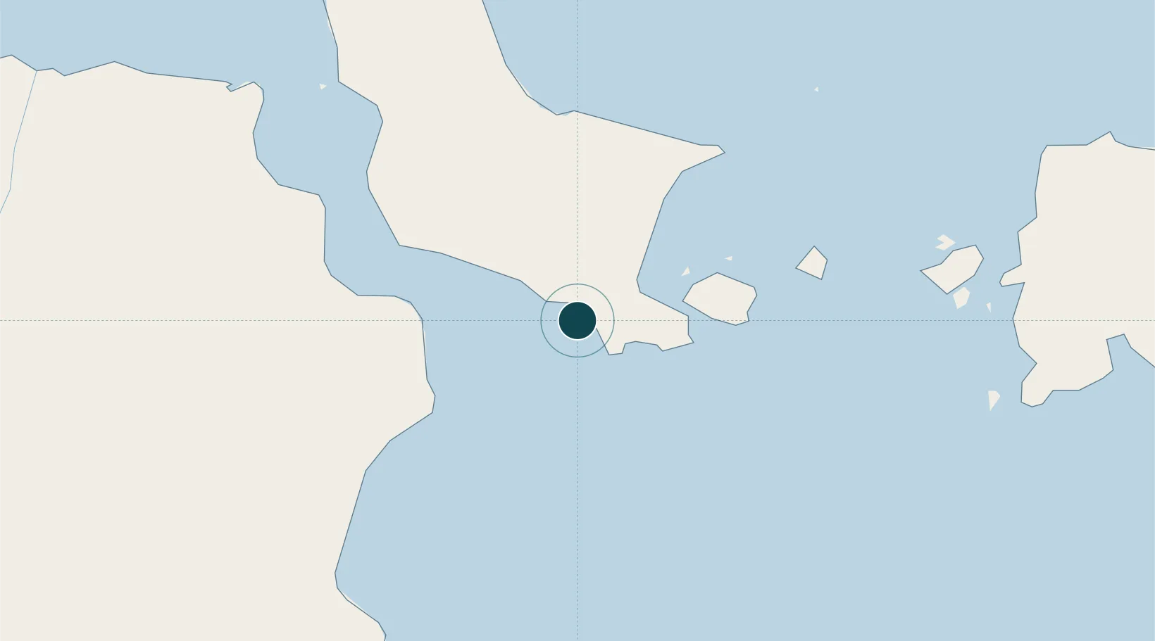
Location
Nearby Logistics Neighbours
Ports
- 1Pangkalpinang106 km
- 2Tanjungpandan135 km
- 3Blinyu171 km
- 4Muntok177 km
- 5Sungaigerong180 km
Cities
- 1Serdang20 km
- 2Tanjung Pandan137 km
- 3Belitung164 km
- 4Plaju, Sumatra183 km
- 5Palembang, Sumatra185 km
Airports
Trade Zones
DatabookThe Record of Consolidated Knowledge
Indonesia beyond logistics?