Runway & Layout

Airport Specifications
IATA code
KLP
ICAO code
WAGF
Airport class
Small airport
Scheduled service
Yes
Served city
Seruyan
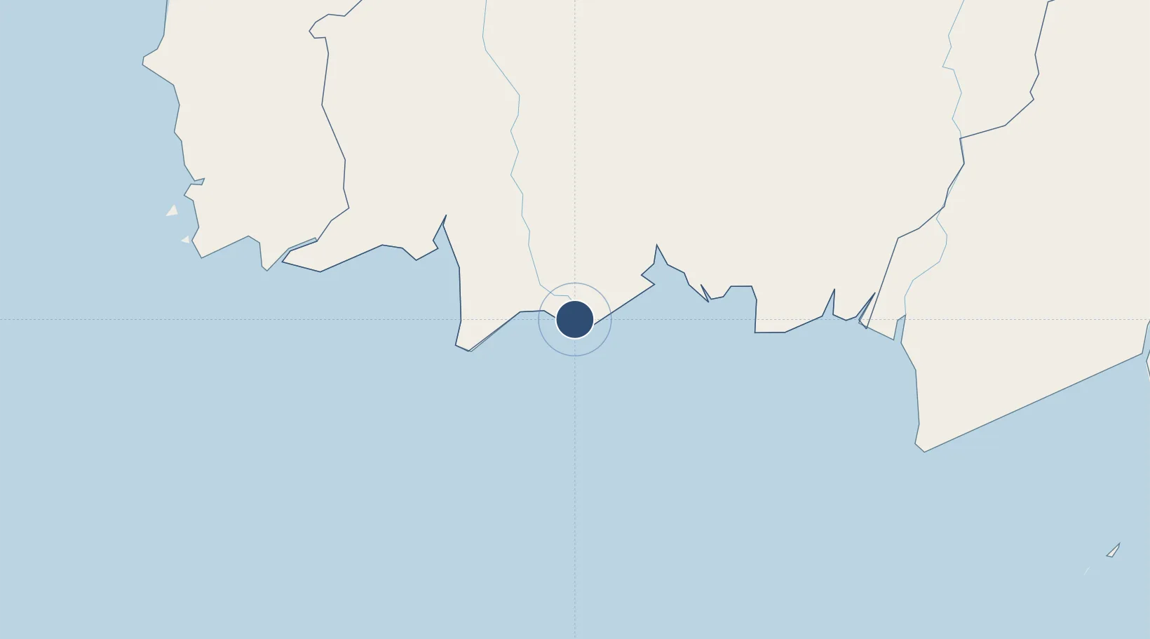
Location
Nearby Logistics Neighbours
Airports
- 1Sampit (H.Asan) Airport109 km
- 2Iskandar Airport122 km
- 3Tjilik Riwut Airport202 km
- 4Tumbang Samba Airport221 km
- 5Syamsudin Noor International Airport247 km
Cities
- 1Bagendang72 km
- 2Kumai114 km
- 3Taboneo211 km
- 4Banjarmasin225 km
- 5Marabahan251 km
Ports
- 1Sampit109 km
- 2Kumai115 km
- 3Banjarmasin227 km
- 4Poleng Oil Field367 km
- 5Tuban376 km
Trade Zones
- 1Tuban Industrial Estate386 km
- 2Java Integrated Industrial Estate413 km
- 3Maspion Industrial Estate417 km
- 4Gresik Industrial Estate421 km
- 5Pulahan Seruai Industrial Estate433 km
DatabookThe Record of Consolidated Knowledge
Indonesia beyond logistics?