UN/LOCODE hub · Indonesia
IDTJQ
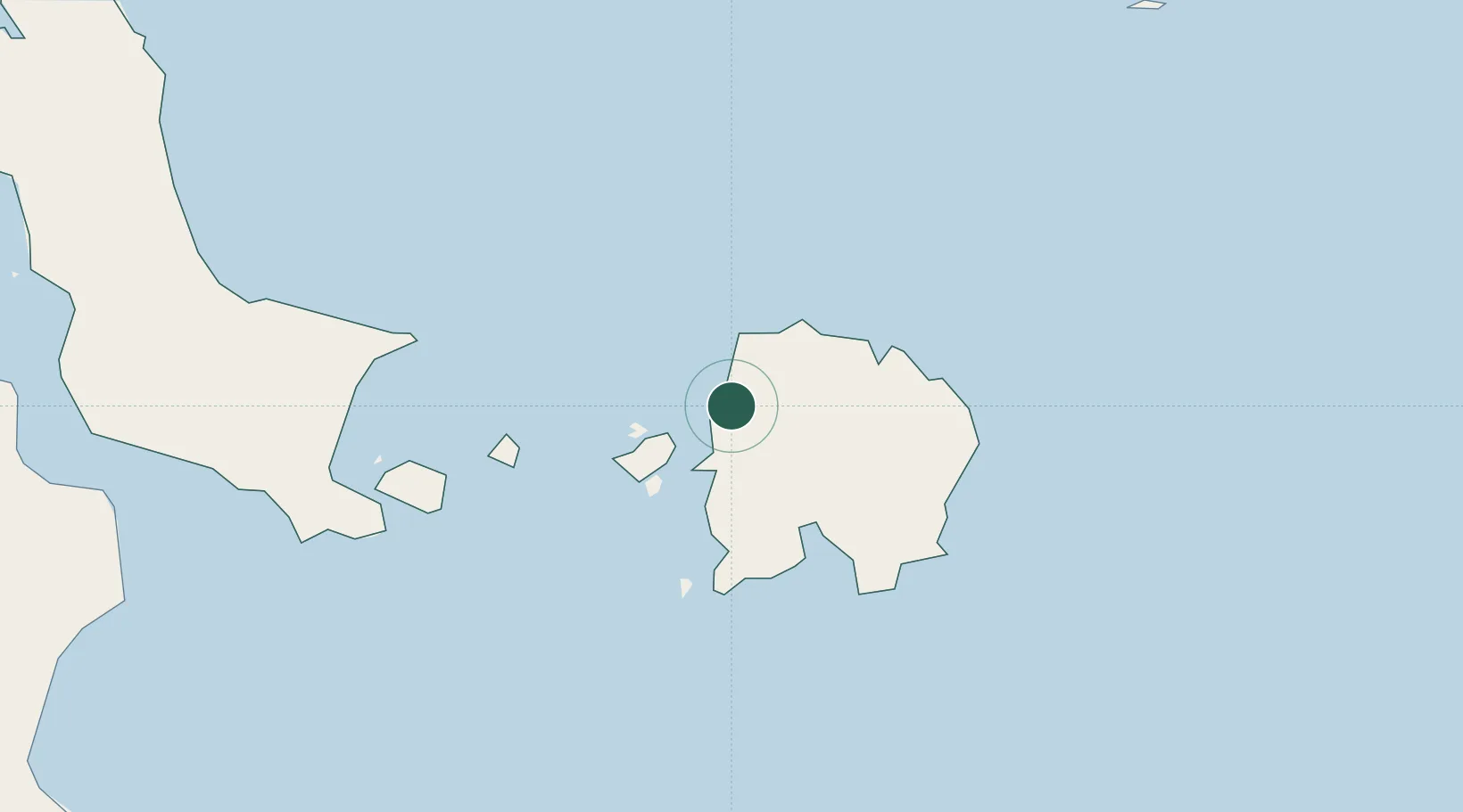
Tanjung Pandan
-2.7500°, 107.6500°
103,062
Population
3
Transport functions
Transport Functions
Port
Road
Airport
Hub Profile
Place type
Populated place
Region
Bangka–Belitung Islands
Population
103,062
Time zone
Asia/Jakarta
Elevation
8 m
Location
Nearby Logistics Neighbours
Cities
- 1Belitung31 km
- 2Toboali131 km
- 3Serdang134 km
- 4Kendawangan284 km
- 5Padang Tikar293 km
Ports
- 1Toboali137 km
- 2Pangkalpinang183 km
- 3Widuri Marine Terminal240 km
- 4Blinyu242 km
- 5Muntok286 km
Airports
Trade Zones
DatabookThe Record of Consolidated Knowledge
Indonesia beyond logistics?