Small airport · Indonesia

H A S Hanandjoeddin International AirportWIOD
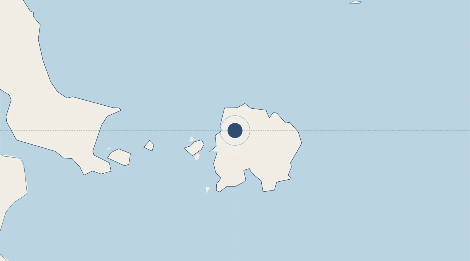
-2.7441°, 107.7545°
8,202 ft
Longest runway
1
Runways
164 ft
Elevation

Runway & Layout

H A S Hanandjoeddin International Airport runway & taxiway layout
Runway & taxiway layout — OpenStreetMap (ODbL) / OurAirports

Radio Frequencies

TWR
118.8 MHz
Hanan Djoeddin
OurAirports

Runways · 1

RunwayDimensions SurfaceTrue headingLit
18/36 8,202 × 148ft Asphalt 176°
OurAirports

Airport Specifications

IATA code
TJQ
OurAirports
ICAO code
WIKT
OurAirports
Airport class
Small airport
OurAirports
Scheduled service
Yes
OurAirports
Runway surface
Asphalt
OurAirports
Served city
Tanjung Pandan
OurAirports

Location

Location of WIOD
Natural Earth 10m (public domain) · Bangka-Belitung · WIOD · -2.74, 107.75GoogleOSMYandex

Nearby Logistics Neighbours

Airports
  1. 1Depati Amir Airport191 km
  2. 2Rahadi Osman Airport266 km
  3. 3Sultan Mahmud Badaruddin II Airport340 km
  4. 4Supadio International Airport342 km
  5. 5Soekarno-Hatta International Airport395 km
Nearest neighbours — logibook spatial index (haversine) over the source coordinates
Cities
  1. 1Tanjung Pandan12 km
  2. 2Belitung21 km
  3. 3Toboali142 km
  4. 4Serdang145 km
  5. 5Padang Tikar286 km
Nearest neighbours — logibook spatial index (haversine) over the source coordinates
Ports
  1. 1Tanjungpandan14 km
  2. 2Toboali148 km
  3. 3Pangkalpinang193 km
  4. 4Widuri Marine Terminal246 km
  5. 5Blinyu251 km
Nearest neighbours — logibook spatial index (haversine) over the source coordinates
Trade Zones
  1. 1KEK Tanjung Kelayang22 km
  2. 2Tanjung Api-api Special Economic Zone328 km
  3. 3Kawasan Berikat Nusantara Industrial Estate389 km
  4. 4Jakarta Industrial Estate - Pulogadung394 km
  5. 5Jababeka Industrial Estate-Cikarang400 km
Nearest neighbours — logibook spatial index (haversine) over the source coordinates
DatabookThe Record of Consolidated Knowledge
Indonesia beyond logistics?
Browse databook

All Sources

AirportsOurAirports
Public domain
Portsthe NGA World Port Index
Public domain (US gov)
LocationsUN/LOCODE
UN/LOCODE — free
Trade Zonesthe World Bank SEZ database
CC BY 4.0
Trade ZonesOpen Zone Map
CC BY
InfrastructureOpenStreetMap
ODbL 1.0
← Indonesia airports