Channel & Berth Profile
Pilotage, Tugs & Services
Pilotage compulsoryYES
Tug assistanceNO
Salvage tugsNO
Potable waterNO
MedicalYES
Facilities & Capabilities
Container—
Ro-Ro—
Liquid bulk—
Dry bulk—
Oil terminal—
Break bulk—
Dry dock—
RepairsNO
BunkeringNO
Rail linkYES
Dangerous cargo—
ISPS security—
Harbour Specifications
Harbour size
Very Small
Harbour type
River (Natural)
Shelter
Good
Water body
Java Sea; South Pacific Ocean
Tidal range
2 m
Pilotage
Yes
Liner Connectivity
8.8
PLSCI
Port Liner Shipping Connectivity Index for Sampit, as published by UNCTAD for the latest available quarter. Higher values indicate stronger scheduled liner-shipping integration.
Shown relative to the highest per-port PLSCI in the dataset (1,657.9).
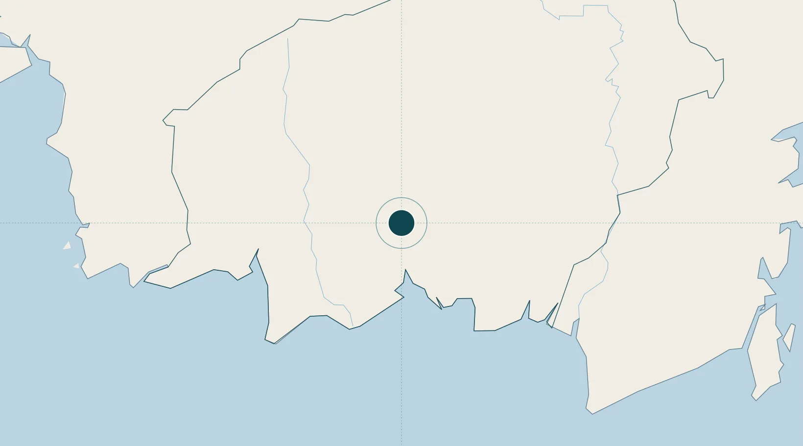
Location
Nearby Logistics Neighbours
Ports
- 1Kumai145 km
- 2Banjarmasin198 km
- 3Tanah Merah360 km
- 4Stagen361 km
- 5Kota Baru366 km
Cities
- 1Bagendang56 km
- 2Kumai143 km
- 3Banjarmasin196 km
- 4Marabahan203 km
- 5Taboneo204 km
Airports
- 1Sampit (H.Asan) Airport3 km
- 2Seruyan Kuala Pembuang Airport109 km
- 3Tjilik Riwut Airport110 km
- 4Tumbang Samba Airport117 km
- 5Iskandar Airport149 km
Trade Zones
- 1Kariangau Industrial Estate449 km
- 2Tuban Industrial Estate490 km
- 3Delma Industrial Park510 km
- 4Java Integrated Industrial Estate510 km
- 5Maspion Industrial Estate515 km
DatabookThe Record of Consolidated Knowledge
Indonesia beyond logistics?