Diversified Zone · Indonesia

Jatengland Industrial Park Sayung Under Development
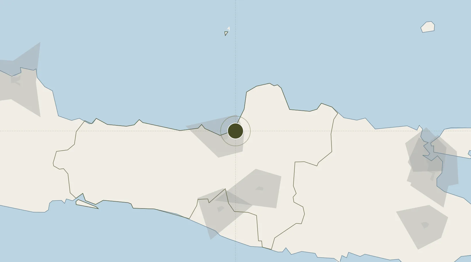
-6.9275°, 110.5499°
300 ha
Zone area
14.9 km
Nearest port
20.1 km
Nearest airport

Gateway access

Nearest neighbours — logibook spatial index (haversine) over the source coordinates

Zone profile

Zone type
Diversified Zone
Open Zone Map
Region
Jawa Tengah
Open Zone Map
Status
Under Development
Open Zone Map
Management
Public-Private Partnership
Open Zone Map
Operator
PT. Jawa Tengah Lahan Andalan
Open Zone Map
Legal framework
The Law No 3. Article 106, issued in 2014
Open Zone Map

Location

Location of ozm-2368
Natural Earth 10m (public domain) · Jawa Tengah · ozm-2368 · -6.93, 110.55GoogleOSMYandex

Nearby Logistics Neighbours

Ports
  1. 1Semarang15 km
  2. 2Rembang92 km
  3. 3Pekalongan94 km
  4. 4Tegal157 km
  5. 5Tuban178 km
Nearest neighbours — logibook spatial index (haversine) over the source coordinates
Airports
  1. 1Jenderal Ahmad Yani Airport20 km
  2. 2Adisumarmo Airport69 km
  3. 3Adisutjipto International Airport97 km
  4. 4Yogyakarta International Airport122 km
  5. 5Dewadaru Airport126 km
Nearest neighbours — logibook spatial index (haversine) over the source coordinates
Cities
  1. 1Demak10 km
  2. 2Semarang16 km
  3. 3Karangjati (Kodya Salatiga)38 km
  4. 4Tawangsari40 km
  5. 5Jepara40 km
Nearest neighbours — logibook spatial index (haversine) over the source coordinates
Trade Zones
  1. 1Terboyo Industrial Estate9 km
  2. 2Tanjung Emas Export Processing Zone14 km
  3. 3Candi Industrial Estate18 km
  4. 4Wijayakusuma Industrial Estate24 km
  5. 5Bukit Semarang Baru Industrial Park28 km
Nearest neighbours — logibook spatial index (haversine) over the source coordinates
DatabookThe Record of Consolidated Knowledge
Indonesia beyond logistics?
Browse databook

All Sources

Trade ZonesOpen Zone Map
CC BY
Portsthe NGA World Port Index
Public domain (US gov)
AirportsOurAirports
Public domain
LocationsUN/LOCODE
UN/LOCODE — free
← Indonesia trade zones