UN/LOCODE hub · Malaysia
MYSNR

Senari - Sarawak

1.6000°, 110.4333°
2
Transport functions

Transport Functions

Port
Road
UN/LOCODE

Hub Profile

Region
13
GeoNames

Location

Location of MYSNR
Natural Earth 10m (public domain) · 13 · MYSNR · 1.60, 110.43GoogleOSMYandex

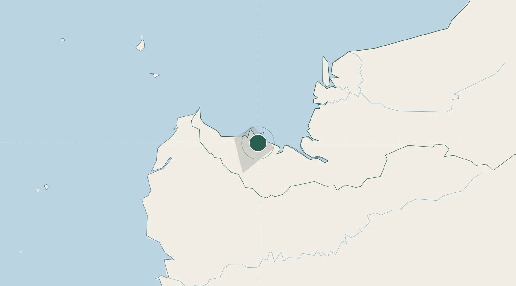
Nearby Logistics Neighbours

Cities
  1. 1Kuching, Sarawak3 km
  2. 2Pending8 km
  3. 3Sebuyau56 km
  4. 4Entikong73 km
  5. 5Tanjung Manis118 km
Nearest neighbours — logibook spatial index (haversine) over the source coordinates
Ports
  1. 1Kuching10 km
  2. 2Tg. Mani119 km
  3. 3Sarikei136 km
  4. 4Bintangor148 km
  5. 5Sibu172 km
Nearest neighbours — logibook spatial index (haversine) over the source coordinates
Airports
  1. 1Kuching International Airport15 km
  2. 2Sibu Airport188 km
  3. 3Susilo Airport206 km
  4. 4Tebelian Airport216 km
  5. 5Supadio International Airport226 km
Nearest neighbours — logibook spatial index (haversine) over the source coordinates
Trade Zones
  1. 1Sarawak Corridor Of Renewable Energy6 km
  2. 2Sama Jaya Free Industrial Zone10 km
  3. 3Kawasan Industri Suge350 km
  4. 4Mas Cargo Free Zone, Penang497 km
  5. 5KEK Tanjung Kelayang557 km
Nearest neighbours — logibook spatial index (haversine) over the source coordinates
DatabookThe Record of Consolidated Knowledge
Malaysia beyond logistics?
Browse databook

All Sources

LocationsUN/LOCODE
UN/LOCODE — free
Portsthe NGA World Port Index
Public domain (US gov)
AirportsOurAirports
Public domain
Trade Zonesthe World Bank SEZ database
CC BY 4.0
Trade ZonesOpen Zone Map
CC BY
← Malaysia locations