Small airport · Indonesia

Sultan Bantilan AirportWAFL
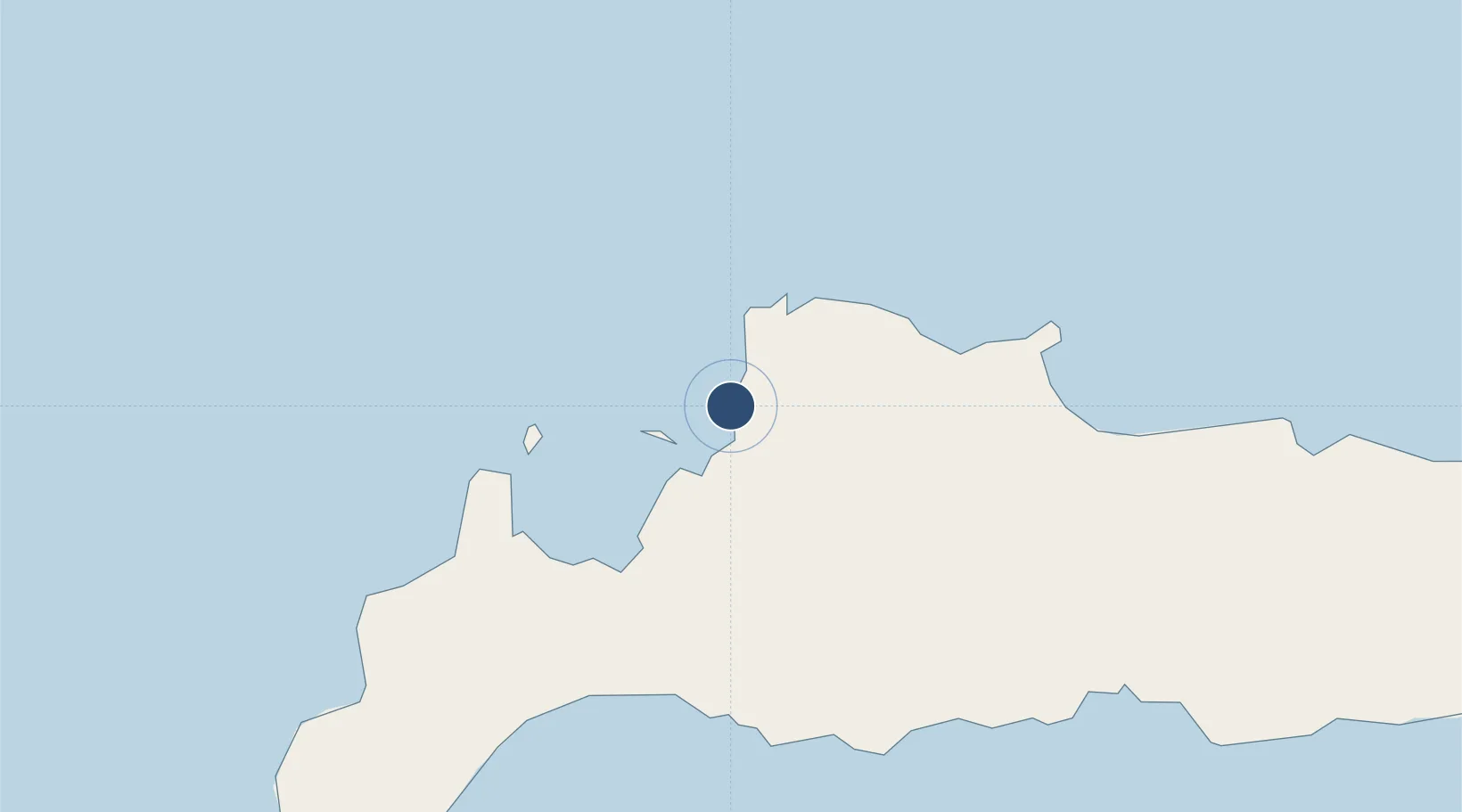
1.1234°, 120.7937°
4,593 ft
Longest runway
1
Runways
17 ft
Elevation

Runway & Layout

Sultan Bantilan Airport runway & taxiway layout
Runway & taxiway layout — OpenStreetMap (ODbL) / OurAirports

Navaids

TO NDB Toli-Toli 370 kHz
OurAirports

Runways · 1

RunwayDimensions SurfaceTrue headingLit
11/29 4,593 × 98ft Asphalt
OurAirports

Airport Specifications

IATA code
TLI
OurAirports
ICAO code
WAFL
OurAirports
Airport class
Small airport
OurAirports
Scheduled service
Yes
OurAirports
Runway surface
Asphalt
OurAirports
Served city
Toli Toli-Celebes Island
OurAirports

Location

Location of WAFL
Natural Earth 10m (public domain) · Sulawesi Tengah · WAFL · 1.12, 120.79GoogleOSMYandex

Nearby Logistics Neighbours

Airports
  1. 1Buol - Pogogul Airport69 km
  2. 2Jalaluddin Airport235 km
  3. 3Tanjung Api Airport240 km
  4. 4Mutiara - SIS Al-Jufrie Airport247 km
  5. 5Kasiguncu Airport283 km
Nearest neighbours — logibook spatial index (haversine) over the source coordinates
Cities
  1. 1Anggrek223 km
  2. 2Palu229 km
  3. 3Pantoloan, Sv229 km
  4. 4Ampana238 km
  5. 5Kerobokan240 km
Nearest neighbours — logibook spatial index (haversine) over the source coordinates
Ports
  1. 1Gorontalo260 km
  2. 2Poso277 km
  3. 3Luwuk321 km
  4. 4Kolonodale351 km
  5. 5Tanjung Sangata369 km
Nearest neighbours — logibook spatial index (haversine) over the source coordinates
Trade Zones
  1. 1Palu Special Economic Zone229 km
  2. 2Maloy Batuta Trans Kalimantan Special Economic Zone320 km
  3. 3Kaltim Industrial Estate383 km
  4. 4Morowali Industrial Park464 km
  5. 5Muara Wahau Industrial Park477 km
Nearest neighbours — logibook spatial index (haversine) over the source coordinates
DatabookThe Record of Consolidated Knowledge
Indonesia beyond logistics?
Browse databook

All Sources

AirportsOurAirports
Public domain
Portsthe NGA World Port Index
Public domain (US gov)
LocationsUN/LOCODE
UN/LOCODE — free
Trade Zonesthe World Bank SEZ database
CC BY 4.0
Trade ZonesOpen Zone Map
CC BY
InfrastructureOpenStreetMap
ODbL 1.0
← Indonesia airports