UN/LOCODE hub · United Kingdom
GBPRN

Portnaguran and Ness

58.4833°, -6.2167°
1
Transport functions

Transport Functions

Port
UN/LOCODE

Hub Profile

Region
ELS
GeoNames

Location

Location of GBPRN
Natural Earth 10m (public domain) · ELS · GBPRN · 58.48, -6.22GoogleOSMYandex

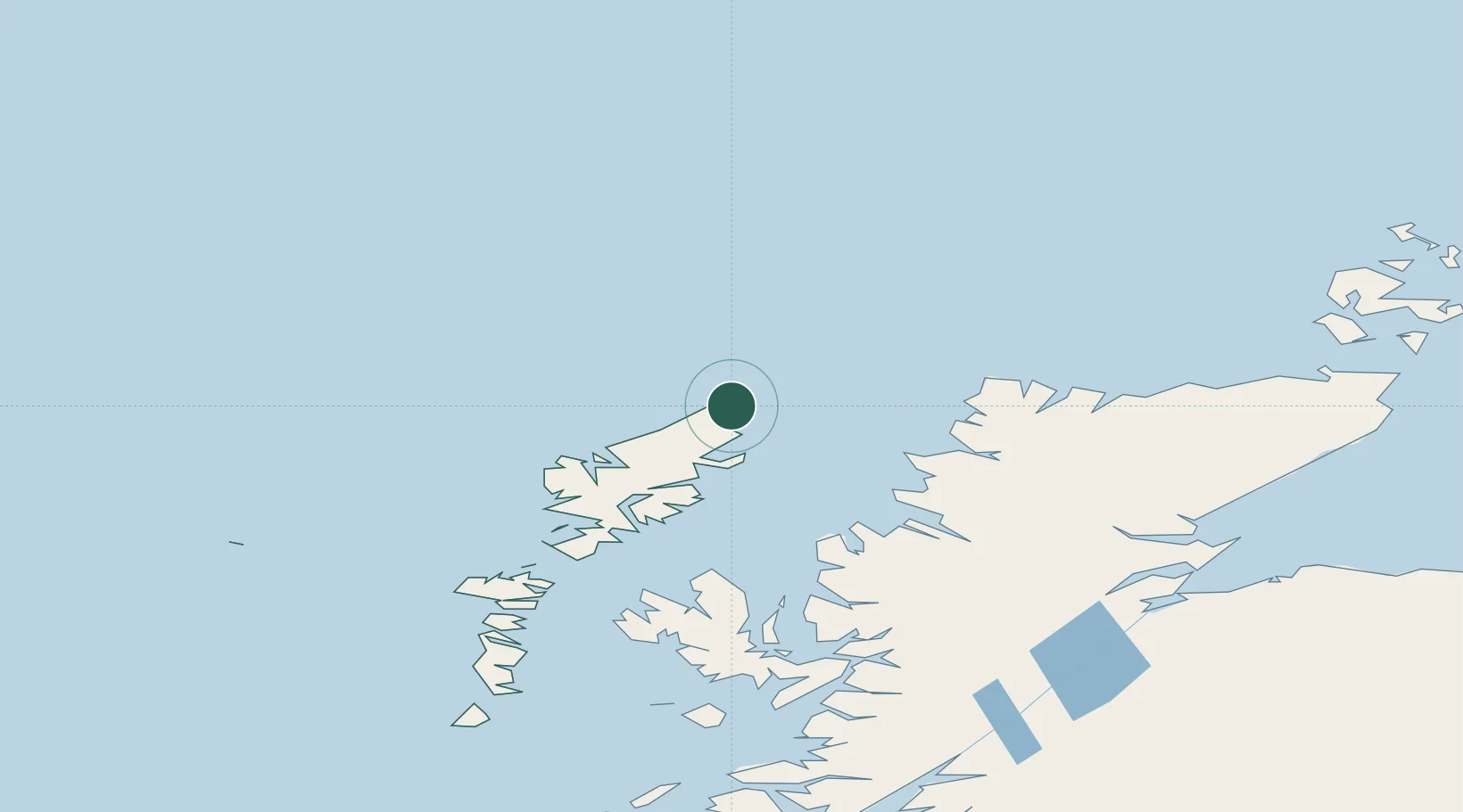
Nearby Logistics Neighbours

Cities
  1. 1Ness8 km
  2. 2Eisken22 km
  3. 3Back25 km
  4. 4Garrabost30 km
  5. 5Stornoway31 km
Nearest neighbours — logibook spatial index (haversine) over the source coordinates
Ports
  1. 1Stornoway Harbor35 km
  2. 2Tarbert74 km
  3. 3Aultbea81 km
  4. 4Ullapool90 km
  5. 5Gairloch91 km
Nearest neighbours — logibook spatial index (haversine) over the source coordinates
Airports
  1. 1Stornoway Airport31 km
  2. 2Benbecula Airport130 km
  3. 3Inverness Airport165 km
  4. 4Barra Airport178 km
  5. 5Wick John O'Groats Airport182 km
Nearest neighbours — logibook spatial index (haversine) over the source coordinates
Trade Zones
  1. 1Prestwick Airport Free Zone345 km
  2. 2Carlisle Kingmoor Park Enterprise Zone442 km
  3. 3North Eastern Enterprise Zone481 km
  4. 4Isle of Man Free Zone and Business Park498 km
  5. 5Tees Valley Enterprise Zone530 km
Nearest neighbours — logibook spatial index (haversine) over the source coordinates
DatabookThe Record of Consolidated Knowledge
United Kingdom beyond logistics?
Browse databook

All Sources

LocationsUN/LOCODE
UN/LOCODE — free
Portsthe NGA World Port Index
Public domain (US gov)
AirportsOurAirports
Public domain
Trade Zonesthe World Bank SEZ database
CC BY 4.0
Trade ZonesOpen Zone Map
CC BY
← United Kingdom locations