Transport Functions
Port
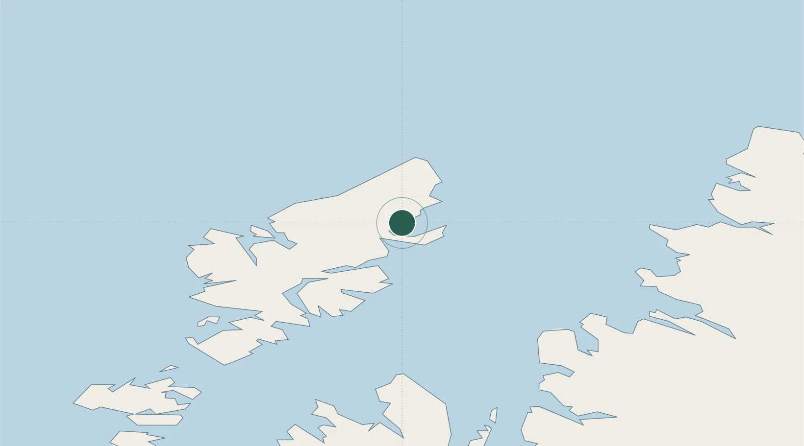
Hub Profile
Place type
Populated place
Region
Scotland
Time zone
Europe/London
Elevation
21 m
Location
Nearby Logistics Neighbours
Cities
- 1Stornoway6 km
- 2Garrabost7 km
- 3Ness20 km
- 4North Lochs21 km
- 5Lochs21 km
Ports
- 1Stornoway Harbor10 km
- 2Tarbert50 km
- 3Aultbea65 km
- 4Gairloch72 km
- 5Uig76 km
Airports
- 1Stornoway Airport6 km
- 2Benbecula Airport107 km
- 3Barra Airport154 km
- 4Inverness Airport156 km
- 5Coll Airport186 km
Trade Zones
DatabookThe Record of Consolidated Knowledge
United Kingdom beyond logistics?