Channel & Berth Profile
Pilotage, Tugs & Services
Pilotage compulsoryNO
Pilotage availableYES
Tug assistanceYES
Potable waterYES
Diesel bunkersYES
MedicalYES
Garbage disposalYES
Facilities & Capabilities
Container—
Ro-Ro—
Liquid bulk—
Dry bulk—
Oil terminal—
Break bulk—
Dry dock—
RepairsNO
BunkeringYES
Rail link—
Dangerous cargo—
ISPS security—
Harbour Specifications
Harbour size
Very Small
Harbour type
Coastal (Natural)
Shelter
Fair
Water body
North Atlantic Ocean
Tidal range
2 m
Pilotage
No
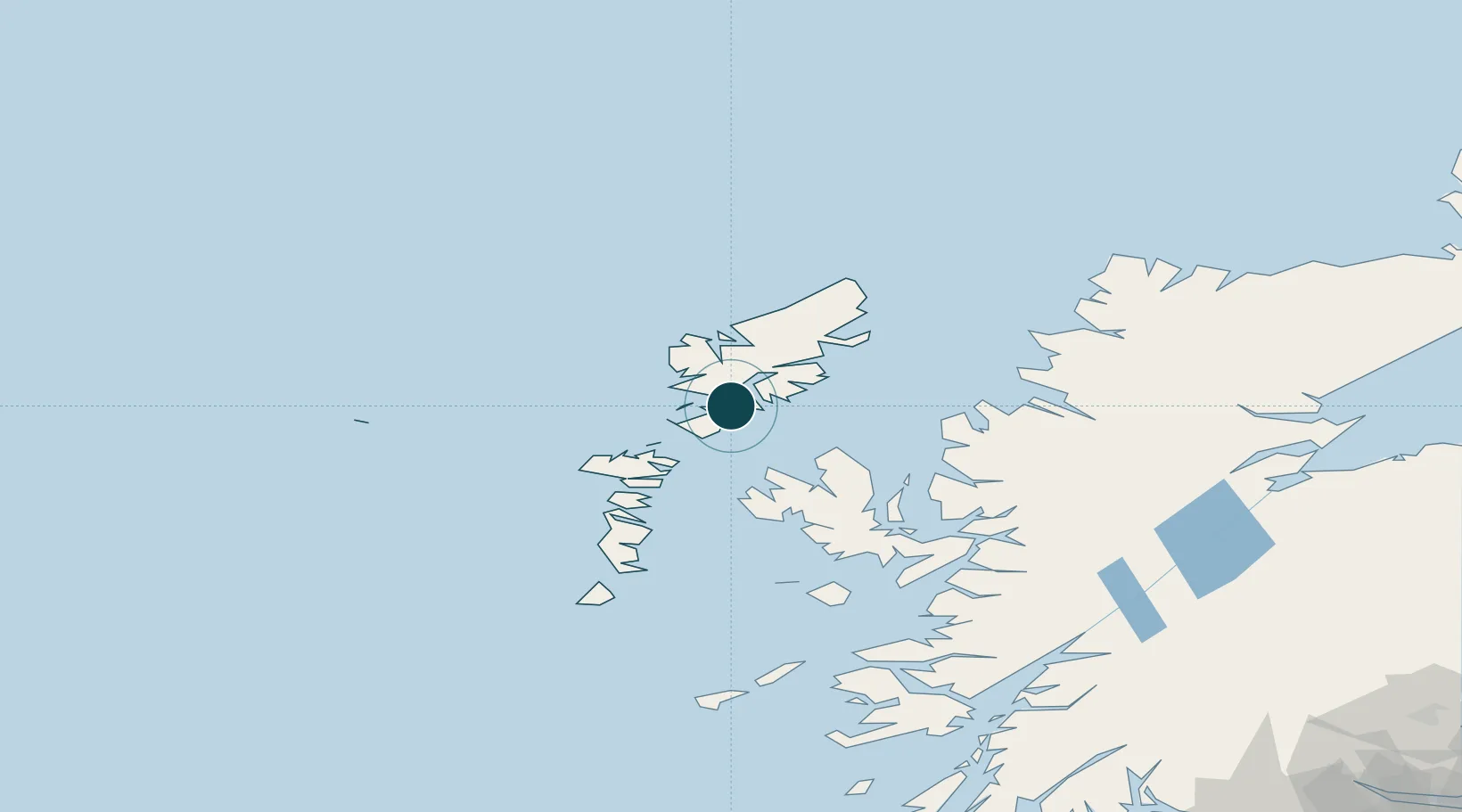
Location
Nearby Logistics Neighbours
Ports
- 1Lochmaddy39 km
- 2Stornoway Harbor41 km
- 3Uig45 km
- 4Portree Harbor65 km
- 5Gairloch70 km
Cities
- 1Tarbert,Harris1 km
- 2North Harris4 km
- 3Scalpay, Outer Hebridies9 km
- 4Leverburgh, Harris19 km
- 5Eishken27 km
Airports
- 1Stornoway Airport45 km
- 2Benbecula Airport57 km
- 3Barra Airport105 km
- 4Coll Airport145 km
- 5Tiree Airport156 km
Trade Zones
DatabookThe Record of Consolidated Knowledge
United Kingdom beyond logistics?