Transport Functions
Port
Hub Profile
Region
ELS
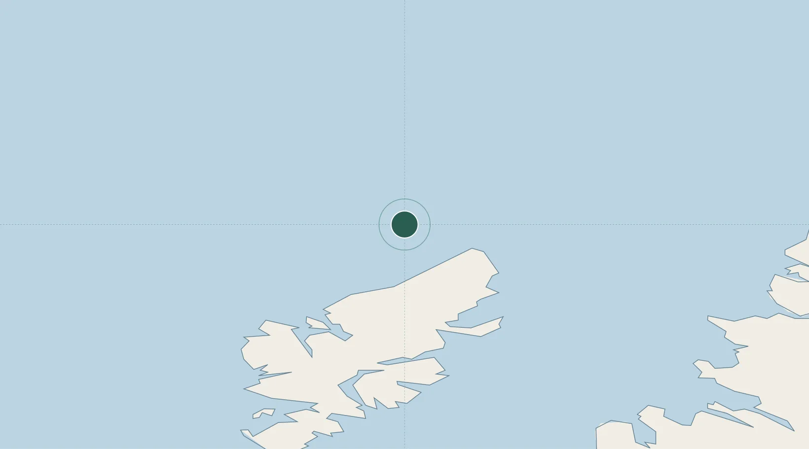
Location
Nearby Logistics Neighbours
Cities
- 1Ness20 km
- 2Portnaguran and Ness22 km
- 3Back39 km
- 4Carloway40 km
- 5Stornoway44 km
Ports
- 1Stornoway Harbor47 km
- 2Tarbert80 km
- 3Aultbea101 km
- 4Gairloch110 km
- 5Ullapool112 km
Airports
- 1Stornoway Airport44 km
- 2Benbecula Airport134 km
- 3Barra Airport184 km
- 4Inverness Airport187 km
- 5Wick John O'Groats Airport199 km
Trade Zones
DatabookThe Record of Consolidated Knowledge
United Kingdom beyond logistics?