Transport Functions
Port
Hub Profile
Place type
Populated place
Region
Scotland
Time zone
Europe/London
Elevation
49 m
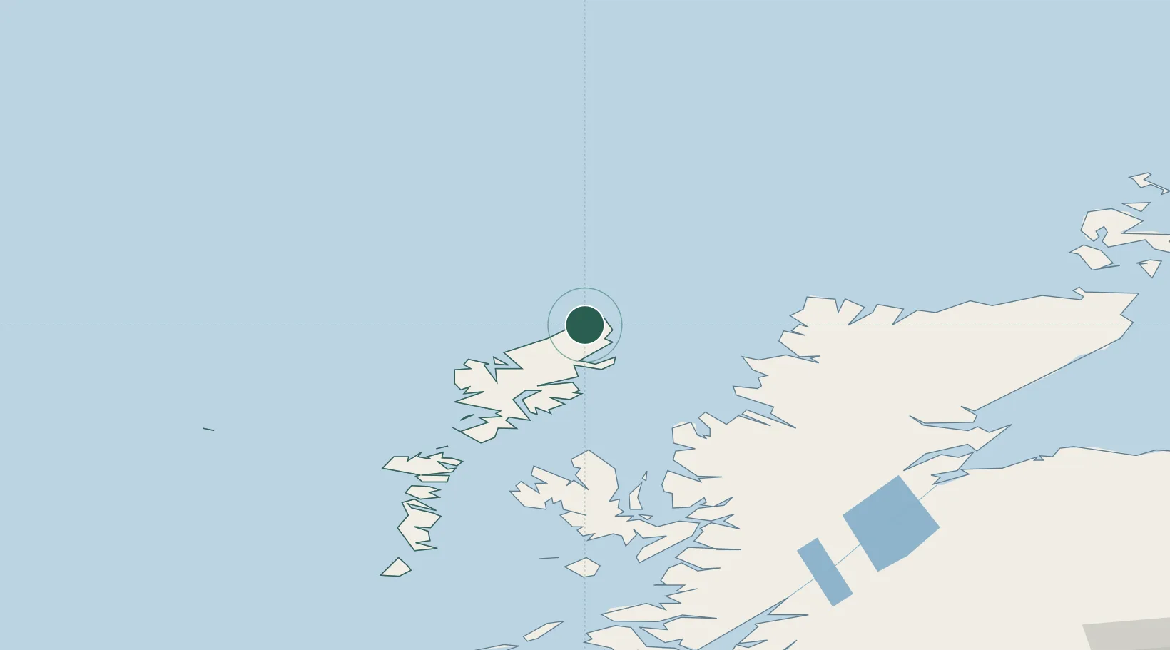
Location
Nearby Logistics Neighbours
Cities
- 1Portnaguran and Ness8 km
- 2Eisken20 km
- 3Back20 km
- 4Stornoway26 km
- 5Garrabost27 km
Ports
- 1Stornoway Harbor30 km
- 2Tarbert67 km
- 3Aultbea82 km
- 4Gairloch90 km
- 5Ullapool93 km
Airports
- 1Stornoway Airport26 km
- 2Benbecula Airport124 km
- 3Inverness Airport168 km
- 4Barra Airport172 km
- 5Wick John O'Groats Airport189 km
Trade Zones
DatabookThe Record of Consolidated Knowledge
United Kingdom beyond logistics?