Channel & Berth Profile
Pilotage, Tugs & Services
Pilotage compulsoryNO
Pilotage availableYES
Tug assistanceNO
Salvage tugsNO
Shore powerYES
Potable waterYES
Diesel bunkersYES
MedicalYES
Garbage disposalYES
Facilities & Capabilities
Container—
Ro-Ro—
Liquid bulk—
Dry bulk—
Oil terminal—
Break bulk—
Dry dock—
RepairsNO
BunkeringYES
Rail link—
Dangerous cargo—
ISPS security—
Harbour Specifications
Harbour size
Very Small
Harbour type
Coastal (Natural)
Shelter
Fair
Water body
North Atlantic Ocean
Tidal range
4 m
Pilotage
No
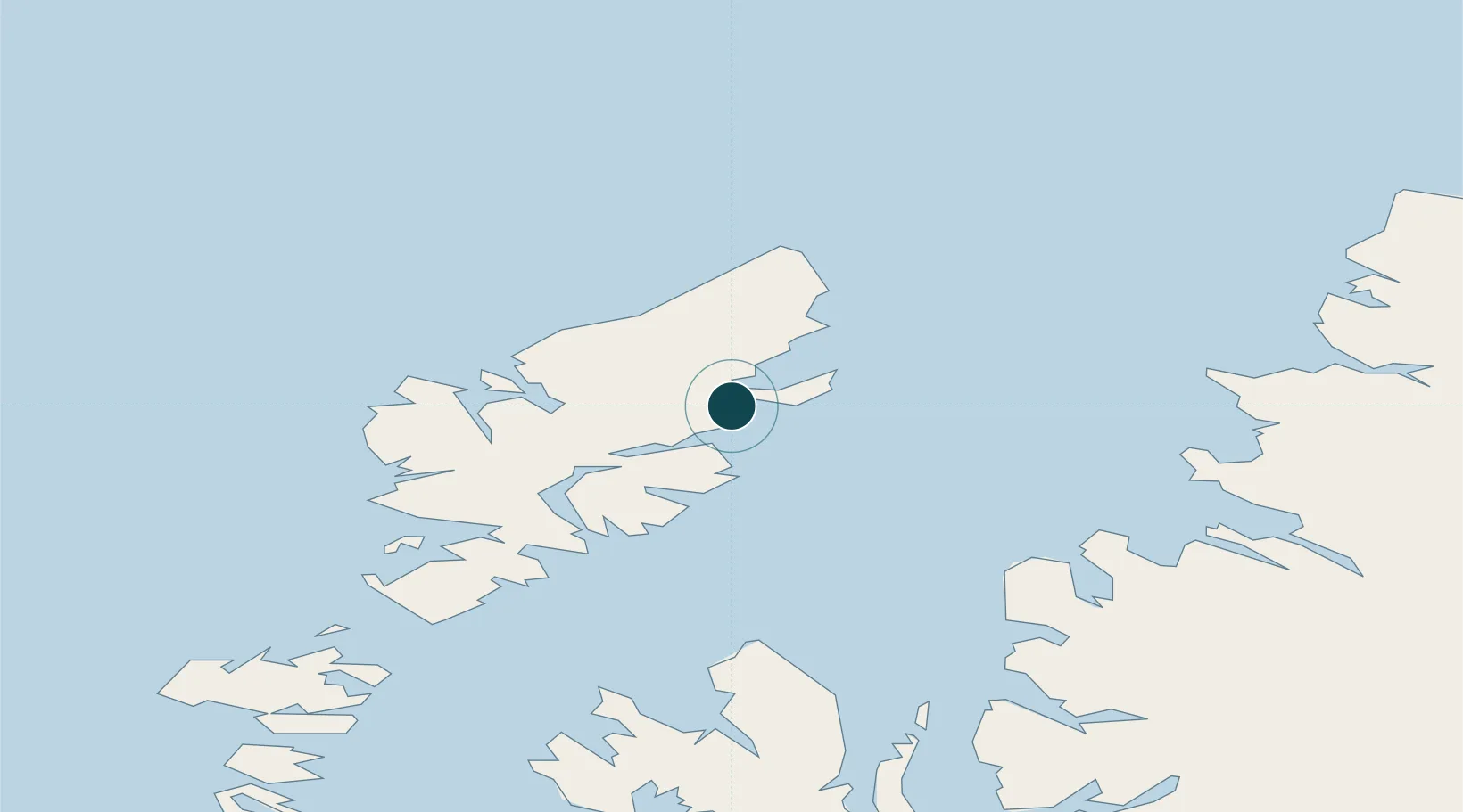
Location
Nearby Logistics Neighbours
Cities
- 1Garrabost9 km
- 2Back10 km
- 3North Lochs12 km
- 4Lochs12 km
- 5South Lochs12 km
Airports
- 1Stornoway Airport4 km
- 2Benbecula Airport98 km
- 3Barra Airport144 km
- 4Inverness Airport155 km
- 5Coll Airport177 km
Trade Zones
DatabookThe Record of Consolidated Knowledge
United Kingdom beyond logistics?