UN/LOCODE hub · United Kingdom
GBSTO
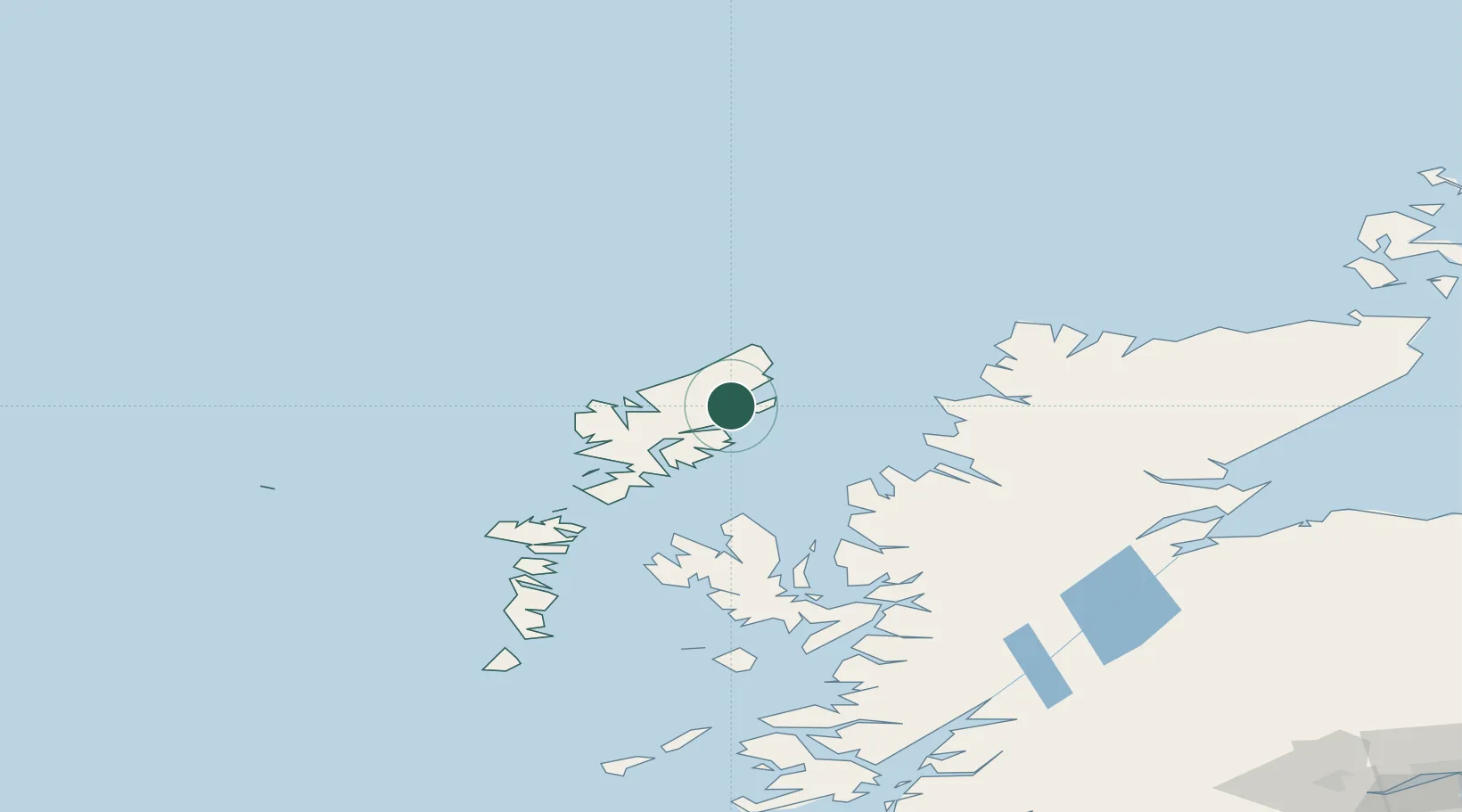
Stornoway
58.2167°, -6.3667°
7,500
Population
2
Transport functions
Transport Functions
Port
Airport
Hub Profile
Place type
Provincial seat
Region
Scotland
Population
7,500
Time zone
Europe/London
Elevation
12 m
Location
Nearby Logistics Neighbours
Cities
- 1Back6 km
- 2Garrabost8 km
- 3North Lochs15 km
- 4Lochs15 km
- 5South Lochs15 km
Airports
- 1Stornoway Airport2 km
- 2Benbecula Airport101 km
- 3Barra Airport147 km
- 4Inverness Airport156 km
- 5Coll Airport180 km
Trade Zones
DatabookThe Record of Consolidated Knowledge
United Kingdom beyond logistics?