Transport Functions
Port
Hub Profile
Place type
Populated place
Region
Scotland
Time zone
Europe/London
Elevation
67 m
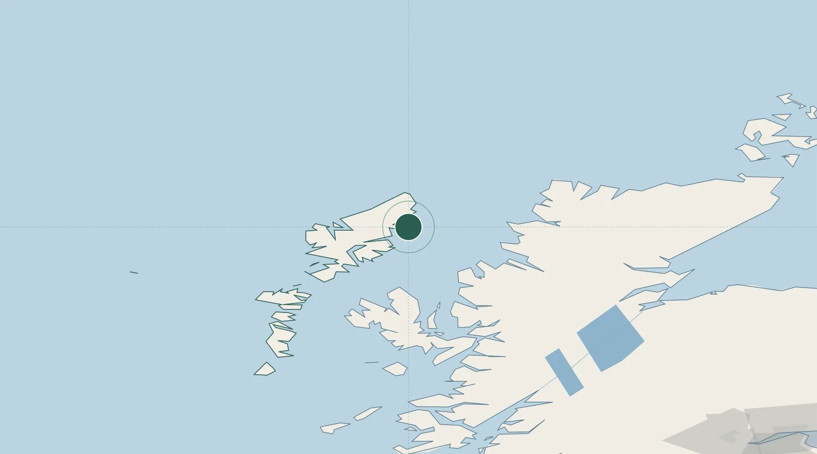
Location
Nearby Logistics Neighbours
Cities
- 1Back7 km
- 2Stornoway8 km
- 3North Lochs20 km
- 4Lochs20 km
- 5South Lochs20 km
Ports
- 1Stornoway Harbor9 km
- 2Tarbert49 km
- 3Aultbea57 km
- 4Gairloch64 km
- 5Uig71 km
Airports
- 1Stornoway Airport6 km
- 2Benbecula Airport106 km
- 3Inverness Airport149 km
- 4Barra Airport151 km
- 5RAF Lossiemouth180 km
Trade Zones
DatabookThe Record of Consolidated Knowledge
United Kingdom beyond logistics?