Transport Functions
Port
Hub Profile
Place type
Populated place
Region
Scotland
Time zone
Europe/London
Elevation
70 m
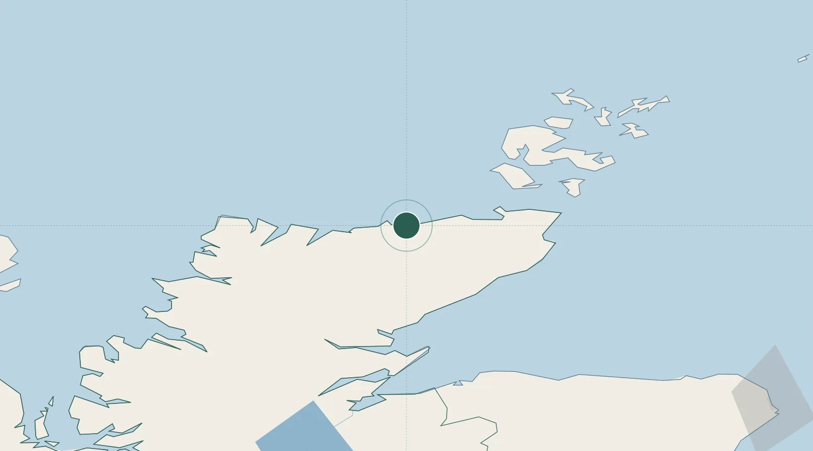
Location
Nearby Logistics Neighbours
Ports
- 1Scrabster Harbor22 km
- 2Wick51 km
- 3Lyness51 km
- 4Helmsdale Harbor52 km
- 5Stromness57 km
Airports
- 1Wick John O'Groats Airport49 km
- 2Kirkwall Airport73 km
- 3Eday Airport96 km
- 4Stronsay Airport98 km
- 5RAF Lossiemouth102 km
Trade Zones
DatabookThe Record of Consolidated Knowledge
United Kingdom beyond logistics?