UN/LOCODE hub · United Kingdom
GBREA

Reay

58.5500°, -3.7833°
2
Transport functions

Transport Functions

Port
Road
UN/LOCODE

Hub Profile

Place type
Populated place
GeoNames
Region
Scotland
GeoNames
Time zone
Europe/London
GeoNames
Elevation
18 m
GeoNames

Location

Location of GBREA
Natural Earth 10m (public domain) · Scotland · GBREA · 58.55, -3.78GoogleOSMYandex

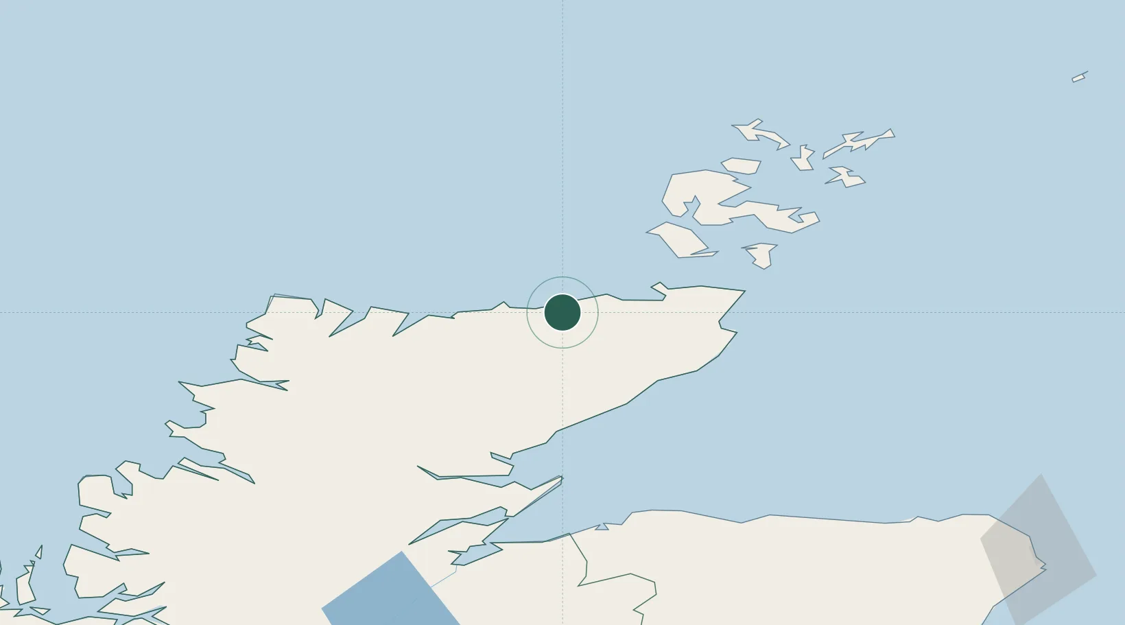
Nearby Logistics Neighbours

Cities
  1. 1Sandside2 km
  2. 2Portskerra8 km
  3. 3Crosskirk10 km
  4. 4Scrabster15 km
  5. 5Thurso16 km
Nearest neighbours — logibook spatial index (haversine) over the source coordinates
Ports
  1. 1Scrabster Harbor15 km
  2. 2Wick43 km
  3. 3Lyness46 km
  4. 4Helmsdale Harbor49 km
  5. 5Stromness54 km
Nearest neighbours — logibook spatial index (haversine) over the source coordinates
Airports
  1. 1Wick John O'Groats Airport41 km
  2. 2Kirkwall Airport68 km
  3. 3Eday Airport92 km
  4. 4Stronsay Airport94 km
  5. 5RAF Lossiemouth98 km
Nearest neighbours — logibook spatial index (haversine) over the source coordinates
Trade Zones
  1. 1Prestwick Airport Free Zone342 km
  2. 2Carlisle Kingmoor Park Enterprise Zone405 km
  3. 3North Eastern Enterprise Zone420 km
  4. 4Tees Valley Enterprise Zone467 km
  5. 5Isle of Man Free Zone and Business Park498 km
Nearest neighbours — logibook spatial index (haversine) over the source coordinates
DatabookThe Record of Consolidated Knowledge
United Kingdom beyond logistics?
Browse databook

All Sources

LocationsUN/LOCODE
UN/LOCODE — free
Portsthe NGA World Port Index
Public domain (US gov)
AirportsOurAirports
Public domain
Trade Zonesthe World Bank SEZ database
CC BY 4.0
Trade ZonesOpen Zone Map
CC BY
← United Kingdom locations