UN/LOCODE hub · United Kingdom
GBRBL

Erribol

58.4667°, -4.2333°
1
Transport functions

Transport Functions

Port
UN/LOCODE

Hub Profile

Region
HLD
GeoNames

Location

Location of GBRBL
Natural Earth 10m (public domain) · HLD · GBRBL · 58.47, -4.23GoogleOSMYandex

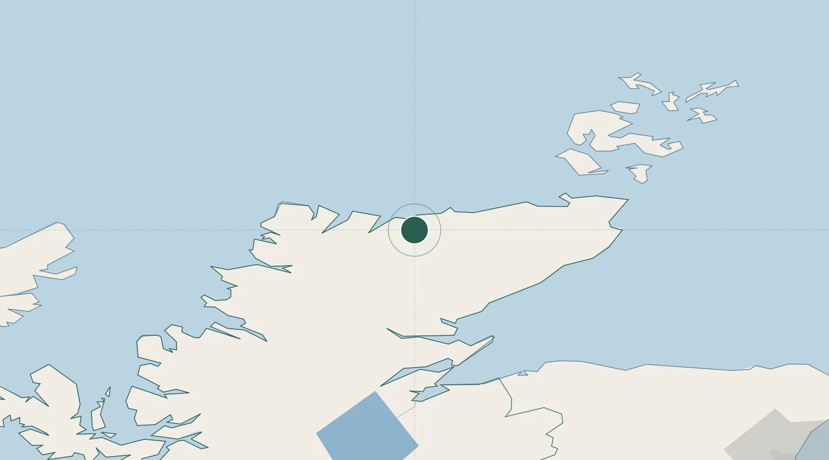
Nearby Logistics Neighbours

Cities
  1. 1Skerray8 km
  2. 2Kirtomy9 km
  3. 3Tongue11 km
  4. 4Talmine13 km
  5. 5Portskerra22 km
Nearest neighbours — logibook spatial index (haversine) over the source coordinates
Ports
  1. 1Scrabster Harbor43 km
  2. 2Helmsdale Harbor52 km
  3. 3Wick67 km
  4. 4Lyness72 km
  5. 5Portmahomack Harbor74 km
Nearest neighbours — logibook spatial index (haversine) over the source coordinates
Airports
  1. 1Wick John O'Groats Airport66 km
  2. 2Kirkwall Airport94 km
  3. 3RAF Lossiemouth100 km
  4. 4Inverness Airport103 km
  5. 5Eday Airport116 km
Nearest neighbours — logibook spatial index (haversine) over the source coordinates
Trade Zones
  1. 1Prestwick Airport Free Zone330 km
  2. 2Carlisle Kingmoor Park Enterprise Zone400 km
  3. 3North Eastern Enterprise Zone421 km
  4. 4Tees Valley Enterprise Zone469 km
  5. 5Isle of Man Free Zone and Business Park487 km
Nearest neighbours — logibook spatial index (haversine) over the source coordinates
DatabookThe Record of Consolidated Knowledge
United Kingdom beyond logistics?
Browse databook

All Sources

LocationsUN/LOCODE
UN/LOCODE — free
Portsthe NGA World Port Index
Public domain (US gov)
AirportsOurAirports
Public domain
Trade Zonesthe World Bank SEZ database
CC BY 4.0
Trade ZonesOpen Zone Map
CC BY
← United Kingdom locations