Transport Functions
Port
Hub Profile
Place type
Populated place
Region
Scotland
Time zone
Europe/London
Elevation
45 m
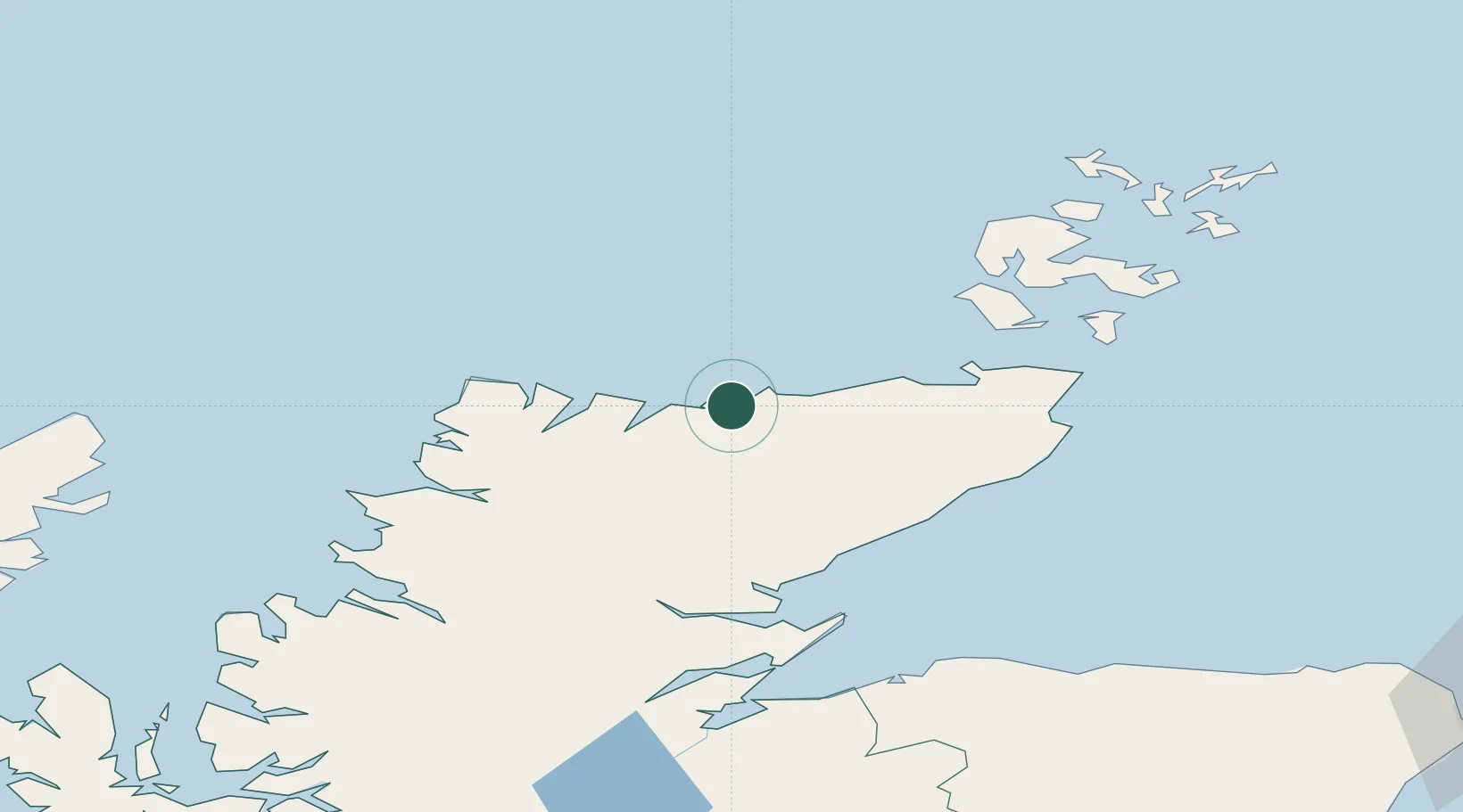
Location
Nearby Logistics Neighbours
Cities
- 1Skerray9 km
- 2Erribol9 km
- 3Portskerra14 km
- 4Talmine16 km
- 5Tongue17 km
Ports
- 1Scrabster Harbor36 km
- 2Helmsdale Harbor55 km
- 3Wick63 km
- 4Lyness64 km
- 5Stromness69 km
Airports
- 1Wick John O'Groats Airport62 km
- 2Kirkwall Airport86 km
- 3RAF Lossiemouth104 km
- 4Eday Airport108 km
- 5Inverness Airport110 km
Trade Zones
DatabookThe Record of Consolidated Knowledge
United Kingdom beyond logistics?