UN/LOCODE hub · United Kingdom
GBCLM

Culkein/Drumbeg

58.2333°, -5.3333°
1
Transport functions

Transport Functions

Port
UN/LOCODE

Hub Profile

Region
HLD
GeoNames

Location

Location of GBCLM
Natural Earth 10m (public domain) · HLD · GBCLM · 58.23, -5.33GoogleOSMYandex

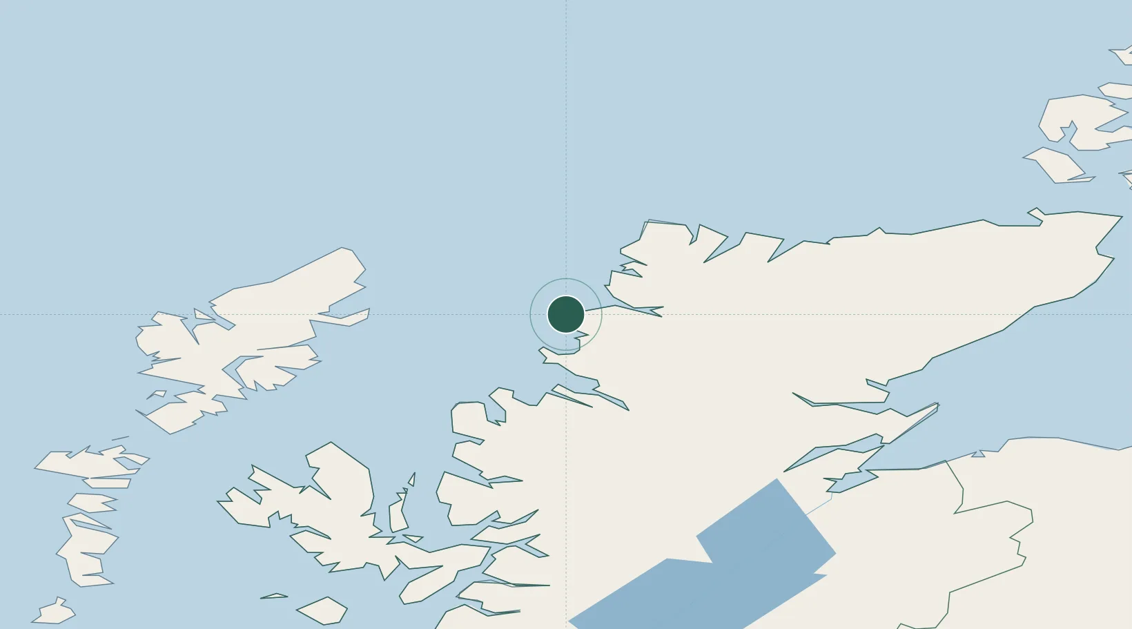
Nearby Logistics Neighbours

Cities
  1. 1Culkein2 km
  2. 2Lochinver11 km
  3. 3Scourie17 km
  4. 4Kylesku19 km
  5. 5Foindlemore - Loch Glendhu21 km
Nearest neighbours — logibook spatial index (haversine) over the source coordinates
Ports
  1. 1Ullapool39 km
  2. 2Aultbea47 km
  3. 3Stornoway Harbor61 km
  4. 4Gairloch61 km
  5. 5Invergordon92 km
Nearest neighbours — logibook spatial index (haversine) over the source coordinates
Airports
  1. 1Stornoway Airport59 km
  2. 2Inverness Airport108 km
  3. 3RAF Lossiemouth131 km
  4. 4Wick John O'Groats Airport133 km
  5. 5Benbecula Airport146 km
Nearest neighbours — logibook spatial index (haversine) over the source coordinates
Trade Zones
  1. 1Prestwick Airport Free Zone306 km
  2. 2Carlisle Kingmoor Park Enterprise Zone394 km
  3. 3North Eastern Enterprise Zone428 km
  4. 4Isle of Man Free Zone and Business Park463 km
  5. 5Tees Valley Enterprise Zone478 km
Nearest neighbours — logibook spatial index (haversine) over the source coordinates
DatabookThe Record of Consolidated Knowledge
United Kingdom beyond logistics?
Browse databook

All Sources

LocationsUN/LOCODE
UN/LOCODE — free
Portsthe NGA World Port Index
Public domain (US gov)
AirportsOurAirports
Public domain
Trade Zonesthe World Bank SEZ database
CC BY 4.0
Trade ZonesOpen Zone Map
CC BY
← United Kingdom locations