Transport Functions
Port
Hub Profile
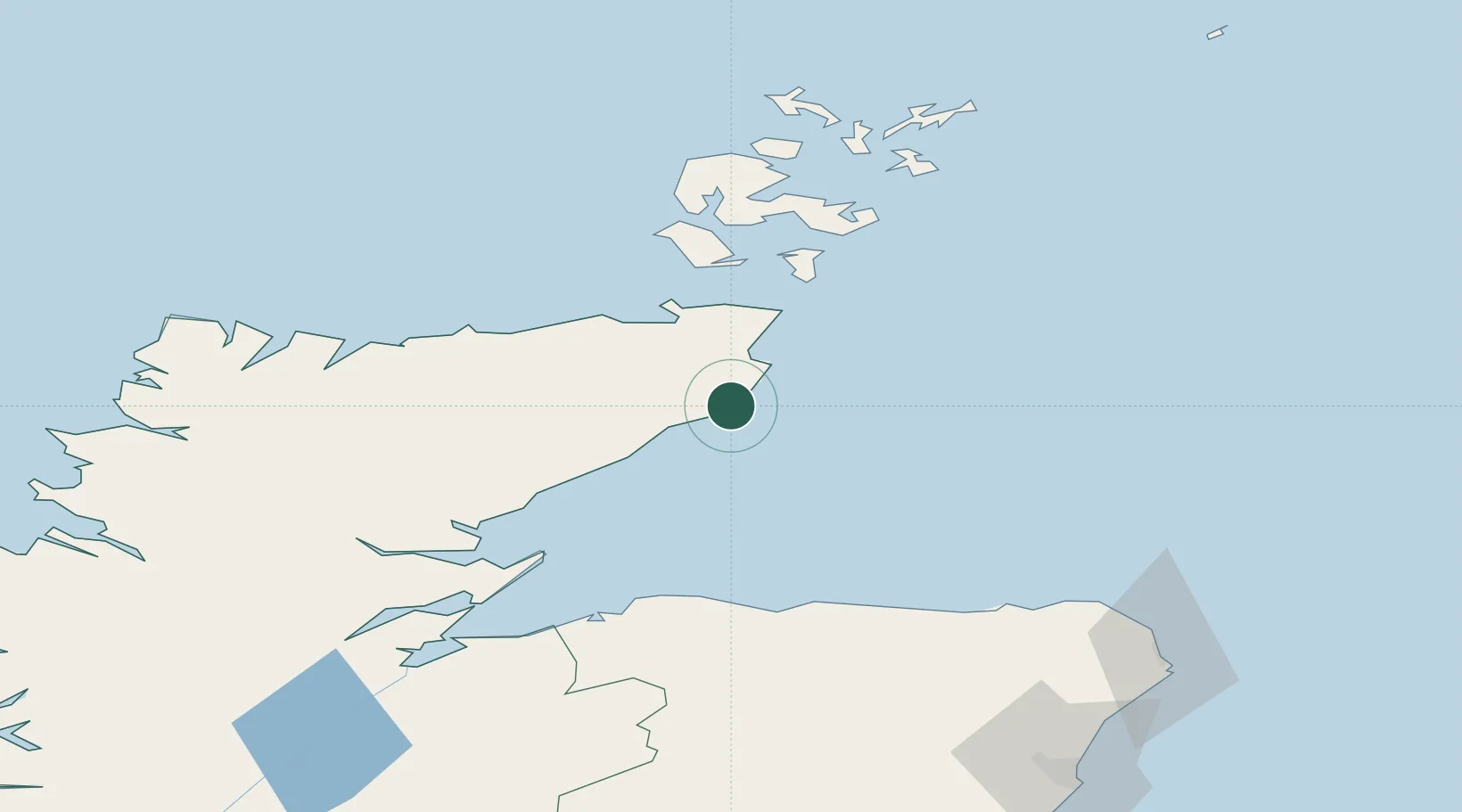
Place type
Populated place
Region
Scotland
Time zone
Europe/London
Elevation
86 m
Location
Nearby Logistics Neighbours
Cities
- 1Lybster7 km
- 2Wick Caithness13 km
- 3Latheronwheel13 km
- 4Staxigoe14 km
- 5Dunbeath17 km
Ports
- 1Wick13 km
- 2Helmsdale Harbor36 km
- 3Scrabster Harbor38 km
- 4Lyness56 km
- 5St Margarets Hope57 km
Airports
- 1Wick John O'Groats Airport15 km
- 2RAF Lossiemouth70 km
- 3Kirkwall Airport71 km
- 4Stronsay Airport97 km
- 5Eday Airport98 km
Trade Zones
DatabookThe Record of Consolidated Knowledge
United Kingdom beyond logistics?