UN/LOCODE hub · United Kingdom
GBWIC

Wick Caithness

58.4333°, -3.0833°
2
Transport functions

Transport Functions

Port
Airport
Wick Caithness is also a profiled seaport →
UN/LOCODE

Hub Profile

Region
HLD
GeoNames

Location

Location of GBWIC
Natural Earth 10m (public domain) · HLD · GBWIC · 58.43, -3.08GoogleOSMYandex

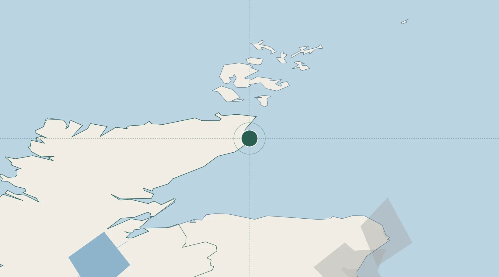
Nearby Logistics Neighbours

Cities
  1. 1Staxigoe3 km
  2. 2Keiss11 km
  3. 3Whaligoe13 km
  4. 4Auckengill15 km
  5. 5Lybster19 km
Nearest neighbours — logibook spatial index (haversine) over the source coordinates
Ports
  1. 1Scrabster Harbor34 km
  2. 2Lyness45 km
  3. 3St Margarets Hope45 km
  4. 4Helmsdale Harbor48 km
  5. 5Scapa Bay58 km
Nearest neighbours — logibook spatial index (haversine) over the source coordinates
Airports
  1. 1Wick John O'Groats Airport3 km
  2. 2Kirkwall Airport59 km
  3. 3RAF Lossiemouth82 km
  4. 4Stronsay Airport84 km
  5. 5Eday Airport86 km
Nearest neighbours — logibook spatial index (haversine) over the source coordinates
Trade Zones
  1. 1Prestwick Airport Free Zone338 km
  2. 2Carlisle Kingmoor Park Enterprise Zone389 km
  3. 3North Eastern Enterprise Zone396 km
  4. 4Tees Valley Enterprise Zone442 km
  5. 5Isle of Man Free Zone and Business Park492 km
Nearest neighbours — logibook spatial index (haversine) over the source coordinates
DatabookThe Record of Consolidated Knowledge
United Kingdom beyond logistics?
Browse databook

All Sources

LocationsUN/LOCODE
UN/LOCODE — free
Portsthe NGA World Port Index
Public domain (US gov)
AirportsOurAirports
Public domain
Trade Zonesthe World Bank SEZ database
CC BY 4.0
Trade ZonesOpen Zone Map
CC BY
← United Kingdom locations