Transport Functions
Port
Road
Hub Profile
Place type
Populated place
Region
Scotland
Time zone
Europe/London
Elevation
9 m
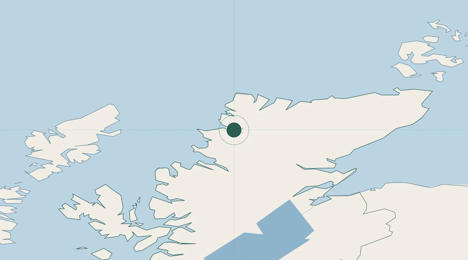
Location
Nearby Logistics Neighbours
Cities
- 1Foindlemore - Loch Glendhu2 km
- 2Scourie14 km
- 3Lochinver18 km
- 4Culkein/Drumbeg19 km
- 5Culkein20 km
Ports
- 1Ullapool40 km
- 2Aultbea57 km
- 3Gairloch71 km
- 4Stornoway Harbor79 km
- 5Invergordon81 km
Airports
- 1Stornoway Airport77 km
- 2Inverness Airport97 km
- 3Wick John O'Groats Airport115 km
- 4RAF Lossiemouth116 km
- 5Kirkwall Airport145 km
Trade Zones
DatabookThe Record of Consolidated Knowledge
United Kingdom beyond logistics?