UN/LOCODE hub · United Kingdom
GBCKN

Culkein

58.2500°, -5.3500°
2
Transport functions

Transport Functions

Port
Road
UN/LOCODE

Hub Profile

Place type
Populated place
GeoNames
Region
Scotland
GeoNames
Time zone
Europe/London
GeoNames
Elevation
15 m
GeoNames

Location

Location of GBCKN
Natural Earth 10m (public domain) · Scotland · GBCKN · 58.25, -5.35GoogleOSMYandex

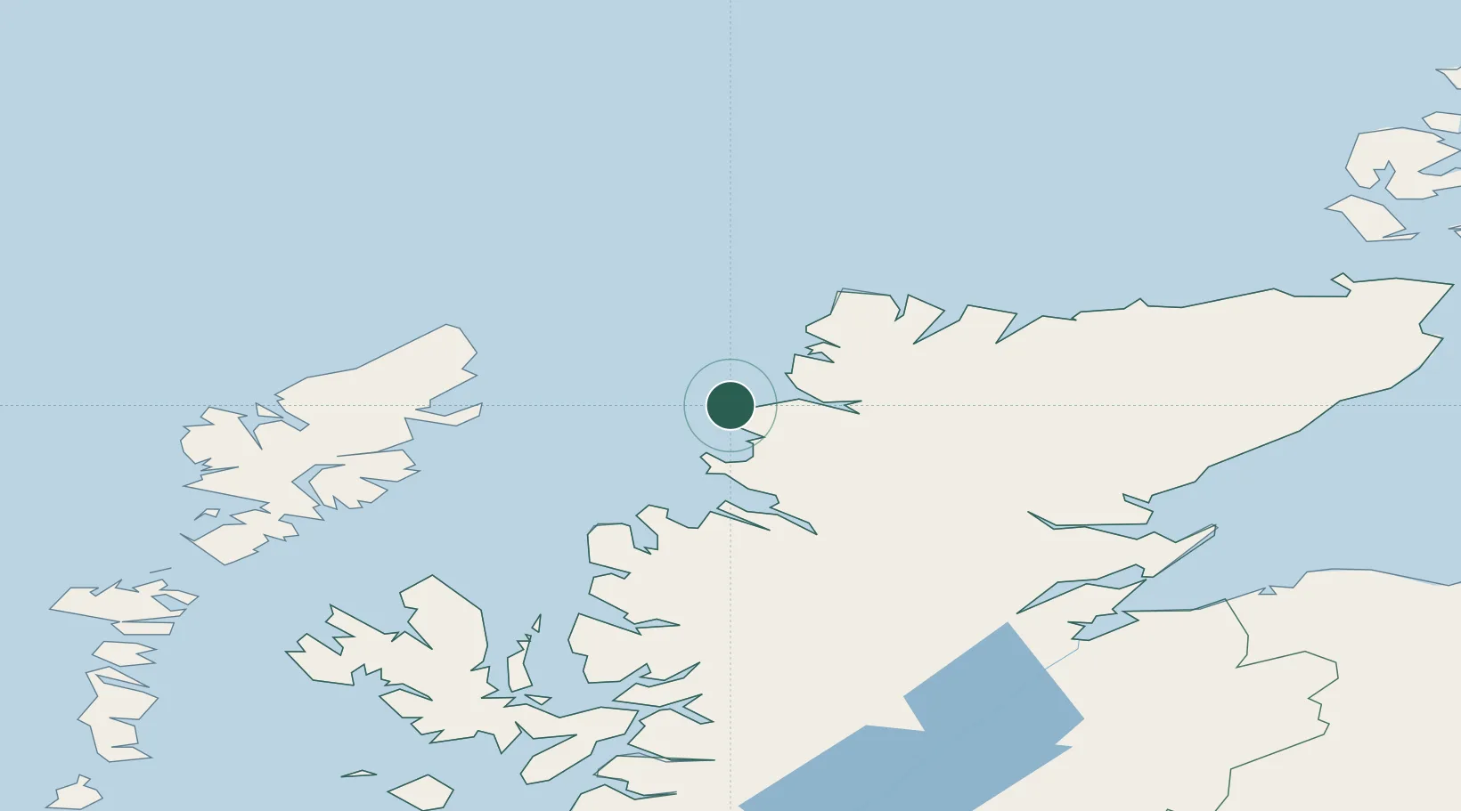
Nearby Logistics Neighbours

Cities
  1. 1Culkein/Drumbeg2 km
  2. 2Lochinver13 km
  3. 3Scourie16 km
  4. 4Kylesku20 km
  5. 5Foindlemore - Loch Glendhu22 km
Nearest neighbours — logibook spatial index (haversine) over the source coordinates
Ports
  1. 1Ullapool41 km
  2. 2Aultbea48 km
  3. 3Stornoway Harbor60 km
  4. 4Gairloch63 km
  5. 5Invergordon94 km
Nearest neighbours — logibook spatial index (haversine) over the source coordinates
Airports
  1. 1Stornoway Airport58 km
  2. 2Inverness Airport110 km
  3. 3RAF Lossiemouth133 km
  4. 4Wick John O'Groats Airport134 km
  5. 5Benbecula Airport147 km
Nearest neighbours — logibook spatial index (haversine) over the source coordinates
Trade Zones
  1. 1Prestwick Airport Free Zone308 km
  2. 2Carlisle Kingmoor Park Enterprise Zone397 km
  3. 3North Eastern Enterprise Zone430 km
  4. 4Isle of Man Free Zone and Business Park465 km
  5. 5Tees Valley Enterprise Zone480 km
Nearest neighbours — logibook spatial index (haversine) over the source coordinates
DatabookThe Record of Consolidated Knowledge
United Kingdom beyond logistics?
Browse databook

All Sources

LocationsUN/LOCODE
UN/LOCODE — free
Portsthe NGA World Port Index
Public domain (US gov)
AirportsOurAirports
Public domain
Trade Zonesthe World Bank SEZ database
CC BY 4.0
Trade ZonesOpen Zone Map
CC BY
← United Kingdom locations