UN/LOCODE hub · United Kingdom
GBFOI

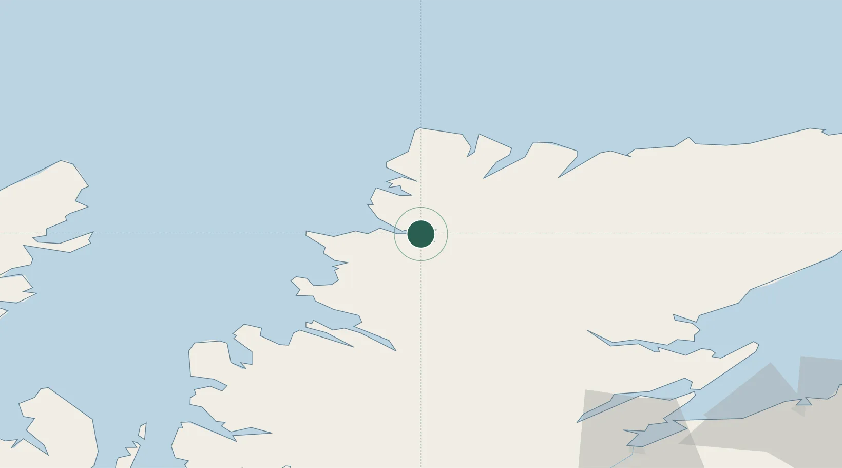
Foindlemore - Loch Glendhu

58.2500°, -4.9833°
1
Transport functions

Transport Functions

Port
UN/LOCODE

Hub Profile

Region
HLD
GeoNames

Location

Location of GBFOI
Natural Earth 10m (public domain) · HLD · GBFOI · 58.25, -4.98GoogleOSMYandex

Nearby Logistics Neighbours

Cities
  1. 1Kylesku2 km
  2. 2Scourie15 km
  3. 3Lochinver19 km
  4. 4Culkein/Drumbeg21 km
  5. 5Culkein22 km
Nearest neighbours — logibook spatial index (haversine) over the source coordinates
Ports
  1. 1Ullapool40 km
  2. 2Aultbea58 km
  3. 3Gairloch72 km
  4. 4Invergordon79 km
  5. 5Helmsdale Harbor80 km
Nearest neighbours — logibook spatial index (haversine) over the source coordinates
Airports
  1. 1Stornoway Airport79 km
  2. 2Inverness Airport96 km
  3. 3Wick John O'Groats Airport113 km
  4. 4RAF Lossiemouth114 km
  5. 5Kirkwall Airport144 km
Nearest neighbours — logibook spatial index (haversine) over the source coordinates
Trade Zones
  1. 1Prestwick Airport Free Zone306 km
  2. 2Carlisle Kingmoor Park Enterprise Zone389 km
  3. 3North Eastern Enterprise Zone419 km
  4. 4Isle of Man Free Zone and Business Park463 km
  5. 5Tees Valley Enterprise Zone468 km
Nearest neighbours — logibook spatial index (haversine) over the source coordinates
DatabookThe Record of Consolidated Knowledge
United Kingdom beyond logistics?
Browse databook

All Sources

LocationsUN/LOCODE
UN/LOCODE — free
Portsthe NGA World Port Index
Public domain (US gov)
AirportsOurAirports
Public domain
Trade Zonesthe World Bank SEZ database
CC BY 4.0
Trade ZonesOpen Zone Map
CC BY
← United Kingdom locations