Transport Functions
Port
Hub Profile
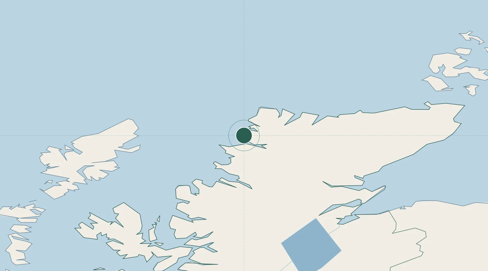
Place type
Populated place
Region
Scotland
Time zone
Europe/London
Elevation
18 m
Location
Nearby Logistics Neighbours
Cities
- 1Kinlochbervie13 km
- 2Kylesku14 km
- 3Foindlemore - Loch Glendhu15 km
- 4Culkein16 km
- 5Culkein/Drumbeg17 km
Ports
- 1Ullapool50 km
- 2Aultbea63 km
- 3Stornoway Harbor74 km
- 4Gairloch77 km
- 5Helmsdale Harbor92 km
Airports
- 1Stornoway Airport71 km
- 2Inverness Airport111 km
- 3Wick John O'Groats Airport120 km
- 4RAF Lossiemouth129 km
- 5Kirkwall Airport146 km
Trade Zones
DatabookThe Record of Consolidated Knowledge
United Kingdom beyond logistics?